Awatere River
Medway Bridge on the Awatere River
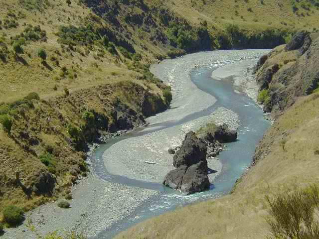
The Awatere River is a major river in the Marlborough region. It flows along a geological fault on the northwest side of the Kaikoura Ranges to the northeast. On the eastern side of the mountains, 20 km to the south, the valley of the Clarence River runs almost parallel to it.
The river flows from its source in the mountainous inland about 110 km to the northeast and flows to the south of Clifford Bay in the Cook Strait. He takes the water of numerous tributaries.
Until 2008, the bridge of State Highway 1 over the river on the road bridge or a railroad track of the Main North Railway. After the construction of a new road bridge, the old bridge is only used as a railroad bridge.
Swell
- New Zealand Travel Atlas, Maps Wise Auckland. ISBN 0-908794-47-9


