Beiersdorf (Coburg)
50.28583333333310.925833333333310Koordinaten: 50 ° 17 ' 9 " N, 10 ° 55' 33" E
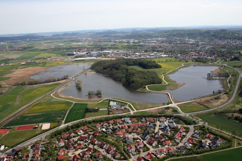
Location of Beiersdorf ( with Call Mountain ) in Coburg
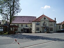
Beiersdorf is a north-western district of the Upper Franconian town of Coburg, who prior to the incorporation in 1972, Beiersdorf b. Coburg said.
Geography
The town borders on the core city of Coburg, Coburg Districts Bertels village and Neuses as well as to the communities Meeder and Weitramsdorf.
June 30, 2010 Beiersdorf counted 1476 inhabitants, giving a population density of 202 inhabitants per km ². The village is situated on the state road 2205 that leads from Coburg to Bad Unterrodach.
History
The first mention of Beiersdorf is dated to the year 1231 with the name Beer village. 1317 for the first time the name Beiersdorf was mentioned, probably comes from a personal name Beier.
End of the 18th century, the city had 34 houses, which extended along the Rodacher road, and 156 inhabitants. In 1910 there were 336 and in 1939 461 inhabitants. On April 1, 1928 Callnberg was incorporated. The incorporation to Coburg 1 July 1972 919 people lived in Beiersdorf, which included a community area of 713 ha.
After the opening of the railway Coburg- bath Unterrodach in 1892 Beiersdorf had a breakpoint that was abandoned late 20th century. A brewery existed from 1876 to 1945. You was founded by E. Schuffner and 1878 to black bear, taken over by the family Hanft, today the owner of the inn.
1988, a Waldorf school was opened in Beiersdorf. The school uses building of the former Callenberger farm, which was built as a model farm ducal 1863. Beiersdorf has a village settlement character.
Attractions
- For surface Beiersdorf heard the call Berger hallway with the castle Callnberg, which was first mentioned in 1122, and the associated castle park, an English landscape garden.
- List of Monuments


