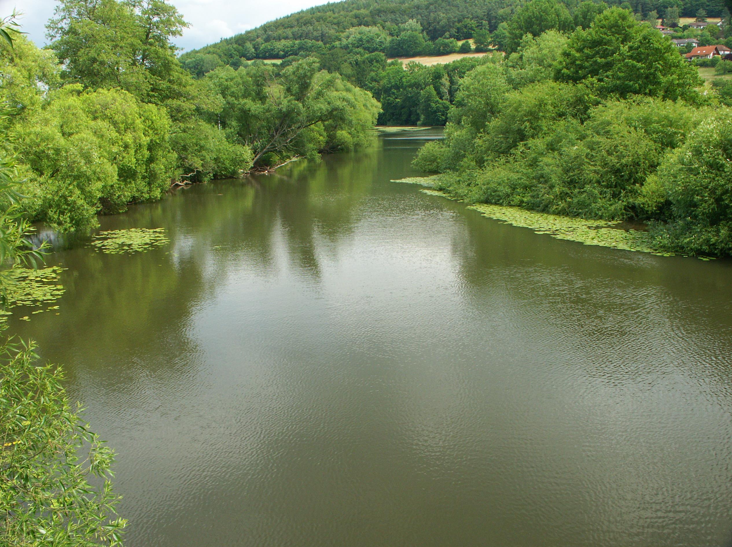
Beise (Fulda)
BW
The Beise, also called Beisebach, is about 20.8 km long left tributary of the south-west and Fulda in Hersfeld -Rotenburg and Schwalm- Eder-Kreis, in Hesse.
Course
The Beise rises in the northeast part of the crumpled mountains ( crumple ) southwest of Hainrode, a part of the municipality of Bad Hersfeld. Your source lies southeast of the monastery stone ( 527.6 m above sea level. NN ) below the forest road Old road in the wooded area at the Bear angle.
Initially, the Beise flows in the municipality of Bad Hersfeld northeastward through Hainrode and then along the country road by 3253 and by Ersrode. There she bends to the northwest, and runs along the L 3254 below the village, after passing under the viaduct Beise the high-speed line Hannover -Würzburg, in the Schwalm- Eder-Kreis one.
In it the Beise flows in the municipality of Knüllwald through the villages Hausen and Rengshausen where the Lingelbach opens, and from then north-north- west, a disused section of the Kanonenbahn Crossing it, after Niederbeisheim where the Breitenbach flows. Their route a few times Crossing it and she turns that Hennemühle, after which the Ertzelsbach opens, and Red Mill passing along the county road 29 to the northeast.
After passing through the Grüneismühle the Beise flows in the municipality of Malles field to in the district Beiseförth in the coming there about southeast of Weser- source Fulda River, which forms a loop of the river there, infuse. Your mouth is just a few meters north of Fulda Bridge of L 3427th
Beisetal Mills Cycle Path
Along the Beise leads from its source to the mouth of about 22 km long " Beisetal Mills Trail" which is marked and signposted with "MR". Once there were 26 mills along the Beise, of which 12 still exist by name. Some are still standing and in use. Along the cycle path are among others swimming pools and restaurants, as well as the forest trail at Rengshausen and the Bee Museum in Niederbeisheim.
Catchment and inflows
Among the tributaries of the Beise, whose catchment area covers 63.204 km ² belong with orographic mapping (l = left side, R = right side), river length and Mündungsort with Beisebachkilometer ( bach downward considered ) /:
- Pfaffelbach ( l, 1.6 km), Rengshausen ( at km 12.6 )
- Fringelbach (r; 1.8 km ) below Rengshausen at the paper mill (near km 11.1 )
- Ertzelsbach ( l; 4 km), below Niederbeisheim in Hennemühle ( at 5.9 km )
- Boys trench ( l, 1.3 miles) below Niederbeisheim near the Red Mill ( at 4.9 km )


