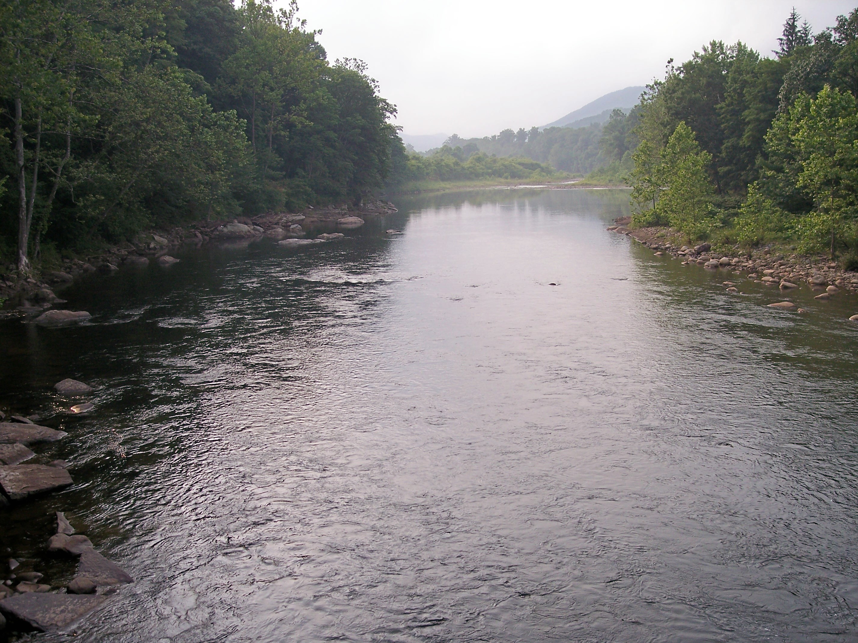
Black Fork (Cheat River)
Catchment area of the Monongahela River with the Black Fork.
Emergence of the Black Fork by the confluence of the Blackwater River (left) and Dry Fork (right) in Hendricks, West Virginia.
He belongs to the catchment area of the Mississippi River and drains an area of 1295 km ². It is formed by the confluence of the Blackwater River and Dry Fork at Hendricks. In Parsons, he then passes the Black Fork along with the Shavers Fork and forms the Cheat River.
Geography
About Cheat River, Monongahela River and Ohio River to the Black Fork belongs to the catchment area of the Mississippi River and drains an area of 1295 km ². At its full length pronouncements of the flow within the Tucker counties. After being formed in Hendricks by Dry Fork and Blackwater River, it flows in a northwesterly direction across Hambleton Parsons, where he joins the Shavers Fork Cheat River to.
Naming
The U.S. Board on Geographic Names in 1930 set the name of the watercourse on " Black Fork ". According to the Geographic Names Information System, the river was historically known as " Blackwater Fork " and was referred to as part of the Blackwater River.


