Botzer
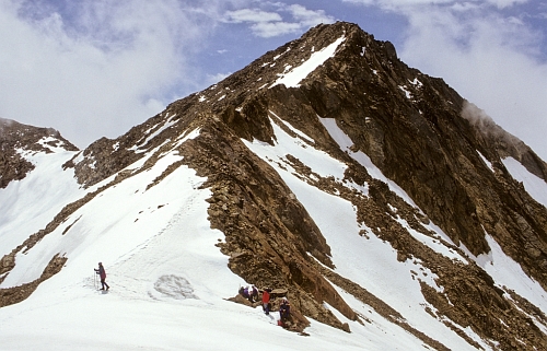
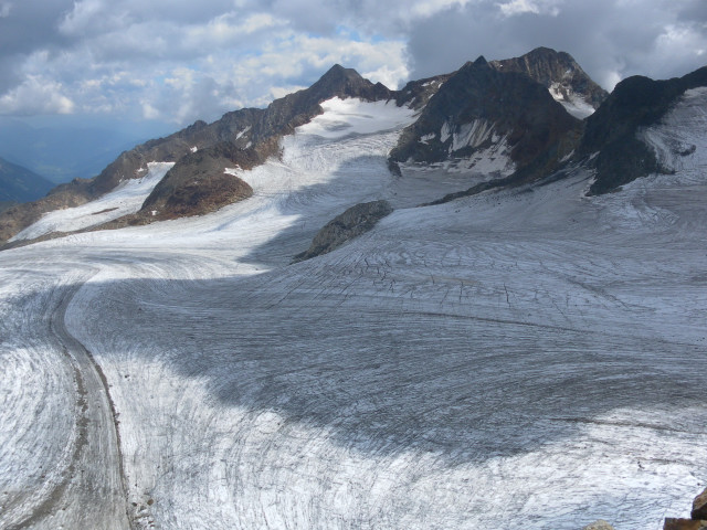
Hochgewänd (left) and Botzer, seen from the Mueller hut
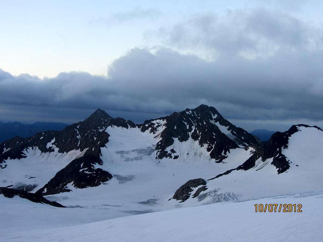
The Botzer seen from the northeast, from the Agglsspitze
The Botzer is a 3250 meter high mountain in South Tyrol. He is the highest mountain in the Botzergruppe to the southern Stubai Alps. To the north, southeast and west it sends distinctive ridges. He was first climbed from the time of the great scientific development of the Eastern Alps by Theodor Petersen and mountain guide, Alois Ennemoser on 16 July 1874 by Ridnaun.
Environment and location
The Botzer is located about six miles as the crow flies west of Maiern in South Tyrol Ridnauntal and about 9 km east of the Timmelsjoch. In the north- west and east of the mountain glaciers is surrounded. To the northwest lies the southern snowfield of Botzerferners which extends up to an altitude of 3200 meters, in the eastern part of the hanging wall almost the summit cross of the mountain reaches addition. Adjacent peaks are in the course of the partially fissured hanging Ostgrats the 3192 meter high Hochgwänd, in the south, less than two kilometers away on the extended south-east the Schwarzseespitze ( 2988 m). West-north- west of the Botzer is, from the Botzerscharte ( 2974 m) separated, the 3128 meter high Königshofspitze.
Bases and routes
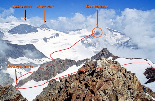
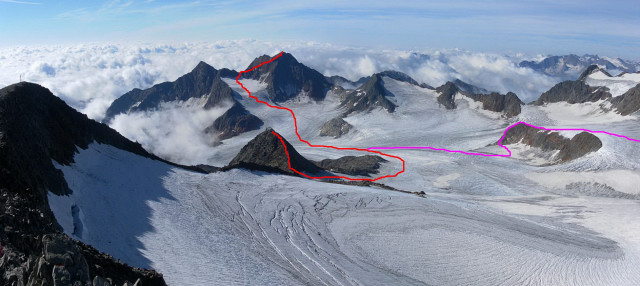
The path taken by the first led on 16 July 1874 by the Lower Aglsalm from over the hanging wall Furthermore, the evil valley glacier and over the northern Firnschneide to the summit. Today's normal route to the Botzer is similar and leads as a glacier tour (only with proper equipment and experience to commit ) from north-east from over the Botzerferner and the Northeast Ridge in, according to the literature, easy climbing at UIAA difficulty level I on brittle rock, and warm summers soft ground, to the summit. As the bases Becherhaus serve to 3190 meters (walking time 2 hours) or Teplitzer hut ( 2586 m, walking time 4 hours). Another route leads in 4 ½ hours from the southern snow mountain hut ( 2355 m) in the former mining town of St. Martin am Schneeberg, on the Botzerscharte ( the difficulty UIAA I).
Sources and maps
- Walter Klier, Alpine Club leaders Stubai Alps, Munich 2006, ISBN 3-7633-1271-4
- Ludwig Purtscheller in Eduard Richter: The development of the Eastern Alps, Volume II, published by the German and Austrian Alpine Club, Berlin 1894
- Casa Editrice Tabacco, hiking map 1:25,000, Sheet 038, Vipiteno, Alpi Breonie / Sterzing, StubaierAlpen
- Alpine Club map 1:25,000, sheet 31/1 Stubai Alps, Hochstubai

