Bristol Channel
51.372222222222 - 3.8397222222222Koordinaten: 51 ° 22 ' 20 " N, 3 ° 50' 23 " W
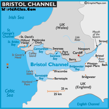
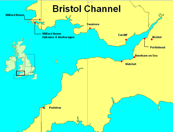
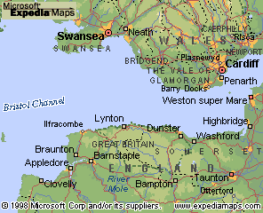
The Bristol Channel (English Bristol Channel; Môr Hafren in Welsh ) is a bay on the west coast of Britain, between England (Cornwall) and Wales.
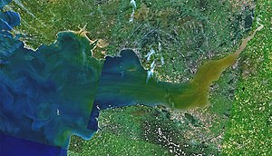
The term "channel" is somewhat misleading, it is a funnel-shaped bay of the Atlantic Ocean which forms the estuary of the River Severn in the inner part. The distance between the located on the north shore Cape St. Govan 's Head and Hartland Point on the south shore of the estuary is 67 kilometers.
In the bay the tides are reinforced such that here the highest Tidenhübe of All England arise. On the Welsh side are the most important ports in the Bristol Channel Cardiff and Swansea, the eponymous Bristol is connected across the River Avon to the Bristol Channel. In the Bristol Channel is the island of Lundy.
On 20 Januarjul. / January 30 1607greg. the Bristol Channel was affected by the momentous natural disaster in Great Britain in historical times, as a tidal wave flooded the coast and around 2,000 people were killed.
Construction of the Severn Barrage tidal power plant
In the Bristol Channel to the construction of the world's largest tidal power plant is planned under the name Severn Barrage. At the mouth of the Severn between Cardiff and Bristol, a 16 -mile barrier is to be built by the Bristol Channel. The planned 216 turbines there should achieve an overall capacity of 8500 MW, covering five percent of Britain's electricity consumption. The location is convenient for a tidal power plant due to the high tidal range of up to 15 meters. So far, costs in the amount of 15 billion pounds ( 19 billion euros ) are estimated for the project. In the UK this major project is controversial. Various environmental groups call due to the expected environmental damage against the construction of the Severn Barrage.


