Cape Maria van Diemen
- 34.472316666667172.64061944444Koordinaten: 34 ° 28 ' 20 " S, 172 ° 38' 26" E
Cape Maria van Diemen ( German Maria van Diemen Cape ) forms the westernmost point of New Zealand's North Island.
Because the Cape in the far north of the Far North District is located near the end of Aupouri Peninsula, the Cape was also considered the northernmost point of Mainland New Zealand, so the two main islands. However Northernmost point is the 30 km further east Surville Cliffs. About six kilometers north-east there is the also farther north, Cape Reinga.
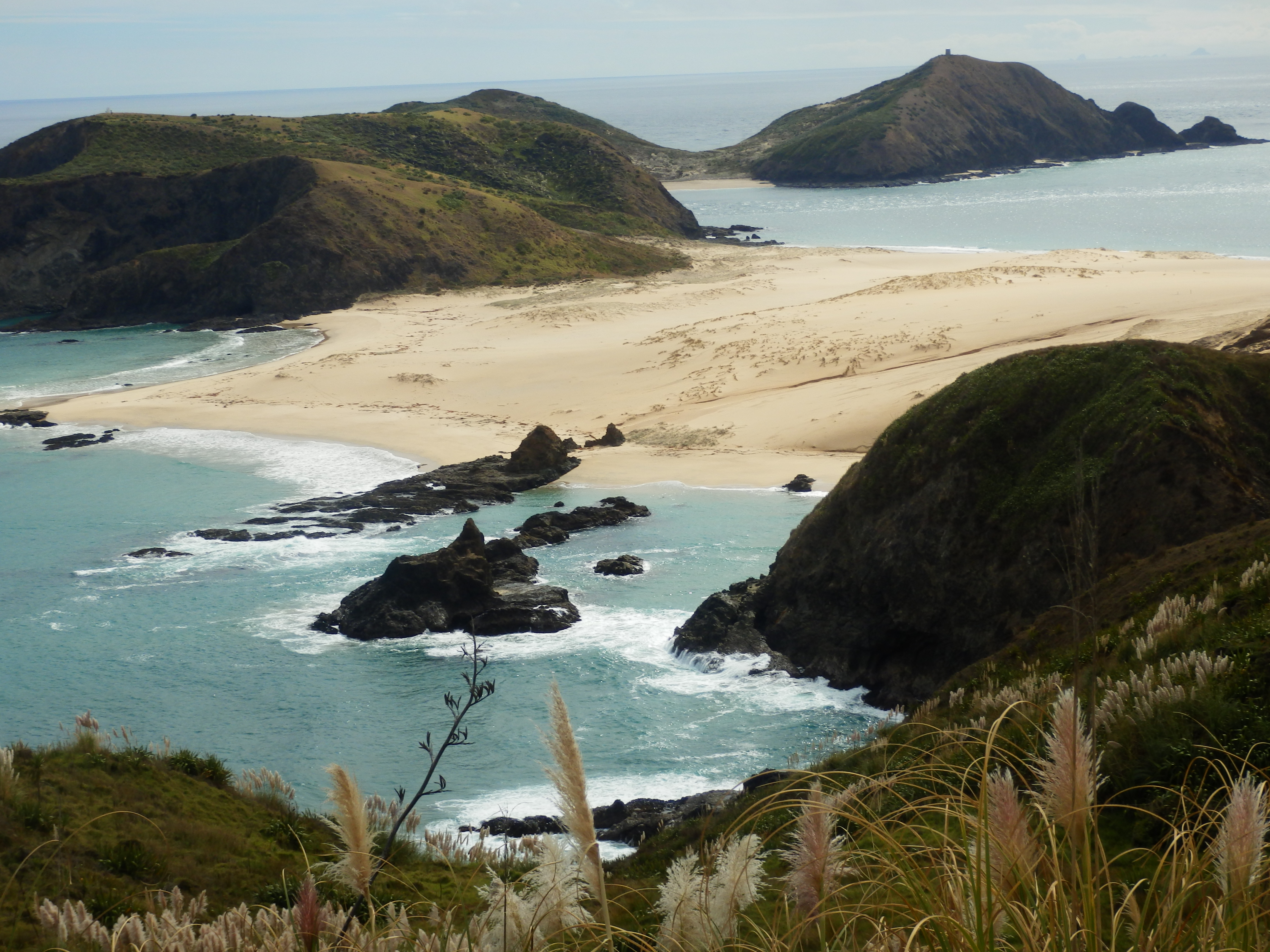
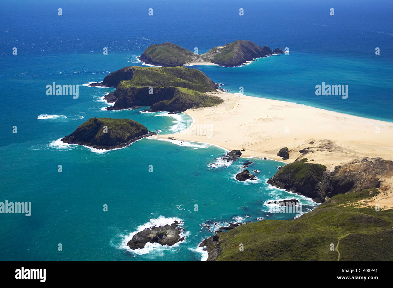
The Cape reaches a height of 88 m and is connected to the mainland by a wide, sandy spit. The cape is in the northwest of the island Motuopao Iceland, preceded by the smaller Taupiri Iceland in the southeast.
The cape was by the Dutch navigator Abel Tasman after the wife of his patron, Antonio van Diemen named. This was then Governor General of the Dutch East Indies in Batavia. Tasman even reached the Cape in January 1643 on the same journey in which he also reached Van Diemen 's Land, now Tasmania. Cape Maria van Diemen is something in addition to the Three Kings Islands to the northwest, the only place name that bears her given name of Abel Tasman today.
There is no route to Cape Maria van Diemen. The maintenance access to the beacon on the Cape by means of boat for walkers opens up the Cape via the Coastal Walkway, the south running from Cape Reinga coming first at the Te Werahi Beach and the Twilight -Te Werahi Loop Track or south along the Twilight Beach leads. A branch line of the unpaved road branches off directly south about 48 m high Herangi Hill from northeast toward Cape Maria van Diemen.


