Chehalis River (Washington)
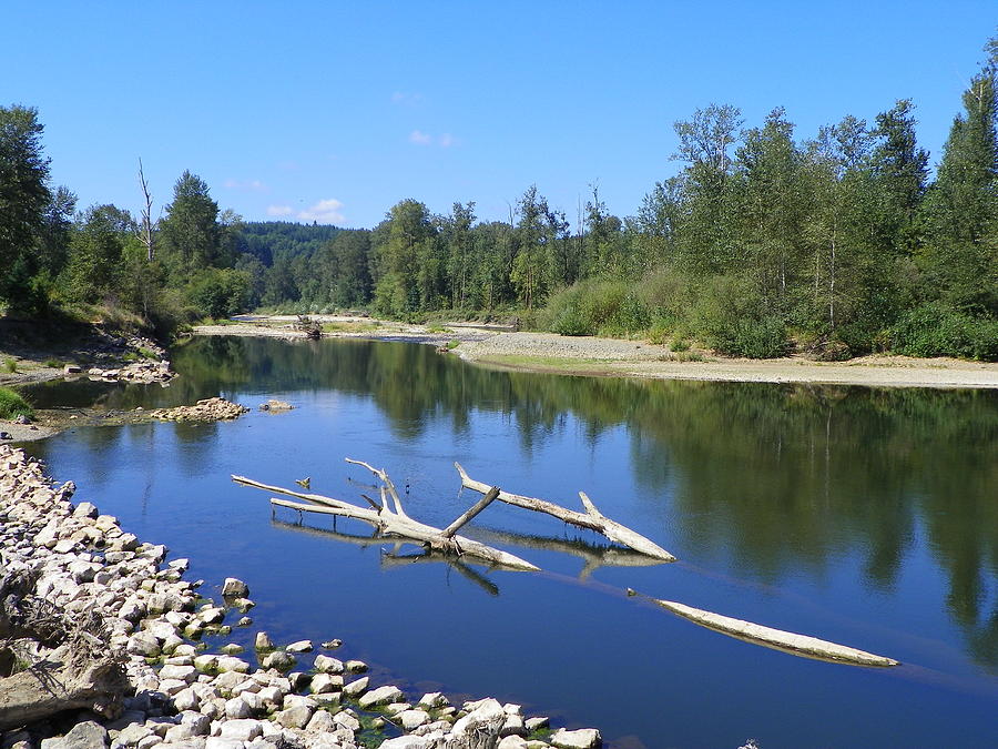
Chehalis River Valley ( left), Grays Harbor ( middle) and Satsop River Valley ( foreground )
Template: Infobox River / Obsolete
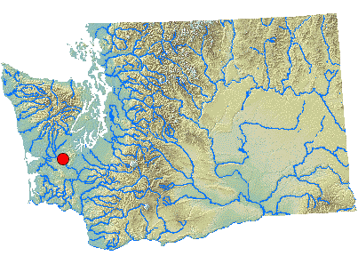
The Chehalis River is a 185 km long river in the state of Washington in the United States. It drains an area of 6889 km ². It has its origin in a number of poor in the south west of the state and flows first east and then in a long arc across the north west before it reaches the sea in Grays Harbor, an estuary of the Pacific Ocean.
The Chehalis River forms the boundary between the Olympic Peninsula with the Olympic Mountains in the north and the Willapa Hills to the south.
Run
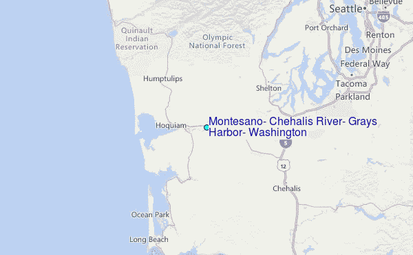
The starting point of the Chehalis River is the confluence of West Forks Chehalis River and East Fork Chehalis River in southwest Lewis County. From there the river flows first east and then north and receives water from rivers, which drain the Willapa Hills and other low mountain ranges in Southwest Washington. A few kilometers west of the city Chehalis opens the South Fork Chehalis River a. The Newaukum River has its mouth at Chehalis, after the river turns to the north. In the Skookumchuck River Centralia opens. Below Centralia, the river flows in an arc north and then west through the Rainbow Falls State Park, receives the waters of the Black River, which drains the northern Black Hills, and Satsop River and Wynoochee River, which open near Montesano. Both rivers come from the southern part of the Olympic Mountains.
Below Montesano, the flow is more and more influenced by the tides. It expands into an estuary, the Grays Harbor is called. Just east of the city of Aberdeen, which is just above the estuary, the Chehalis River still receives the Wishkah River and a little further west, between Aberdeen and Hoquiam Hoquiam joins the River. From this point on it is called the river Grays Harbor. Before the estuary empties into the Pacific Ocean, still leads the Humptulips River a.


