Chemin des Révoires
43.7345694444447.4128611111111Koordinaten: 43 ° 44 '4 " N, 7 ° 24' 46" E
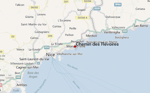
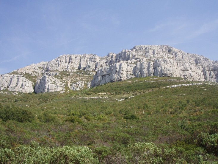
The Chemin des Revoires is a walk in the borough of Les Revoires in Monaco. It connects the Boulevard de Belgique with the Moyenne Corniche, which is already in France. The path leads up the slope of the 1148 meter high Mont Agel, a branch of the Maritime Alps. On Monegasque territory of the path reaches the height of 161 meters, the highest point of the Principality.


