Curienne
Curienne is a town in the French department of Savoie in the Rhone -Alpes.
Geography
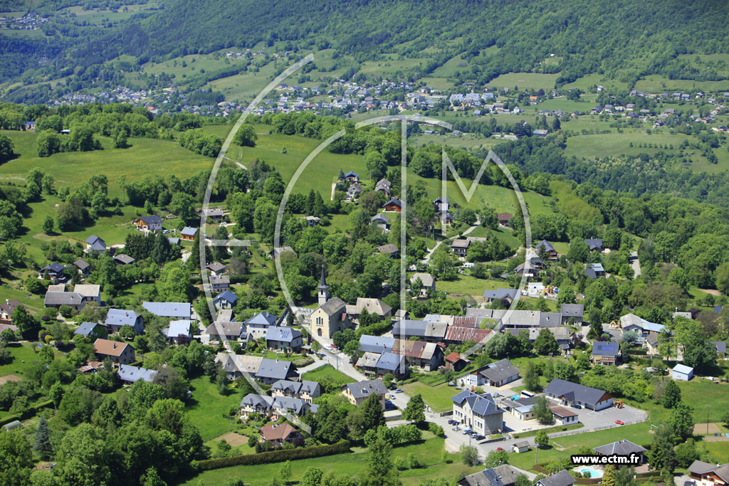
Curienne is located on 712 m above sea level. M., about 7 km east of the town of Chambery (air line). This former farm extends to the west of the department of Savoie, in the southern part of the massif of the Wallows, on a high plateau, which precedes the actual massif, high above the valley of the Leysse.
The area of 8:55 km ² municipal area includes a portion of the massif of the Wallows. The central part of the area is occupied by the Plateau de la Leysse, the above average at an altitude of around 750 m. M. lies. The plateau is dominated in the south of Mont Saint- Michel ( 895 m above sea level. M. ). It falls to the west steeply to the valley floor of Chambery. In the north it is bordered by deep V-shaped valley of the Leysse ( tributary of Lac du Bourget ) and to the east by the V-shaped valley of her side stream Ruisseau de Ternèze. To the south, the municipality's area extends over the valley of Fornet up on the ridge of the Sommet de Montgelas, on 1300 m above sea level. M. the highest elevation of Curienne is achieved.
To Curienne next to the village itself includes various hamlet settlements and farmsteads, including:
- Boyat (680 m above sea level. M. ) on a saddle east of Mont Saint -Michel
- Fornet (600 m above sea level. M. ) in a valley between Mont Saint- Michel and Sommet de Montgelas
- Montmerlet (840 m above sea level. M. ) on the Nordostabdachung of Mont Saint -Michel
Neighboring communities of Curienne are Saint -Jean- d'Arvey in the north, Puygros and La Thuile in the east, Chignin and Saint- Jeoire - Prieuré in the south and Challes -les -Eaux and Barby in the West.
Attractions
The village church of Saint- Maurice was built in the 19th century in the Gothic Revival style, but has no bell tower. The Mont Saint -Michel, which offers sweeping views of Chambéry and the surrounding mountain ranges, is the 1879 built chapel of Saint- Michel. Even the predecessor of which the foundations are still visible, served as an important destination for pilgrims.
Population
With 663 inhabitants (as of 1 January 2011) Curienne is one of the small communities of the department of Savoie. After the population was declining in the first half of the 20th century, a significant population increase has been recorded since the early 1970s thanks to the beautiful residential area again.
Economy and infrastructure
Curienne was until well into the 20th century a predominantly by agriculture, mainly dairy farming and animal husbandry, embossed village. In addition, there are today some of the local small business enterprises. Many workers are commuters who engage in the larger towns in the area, particularly in the area Chambery their work.
The village is located off the major thoroughfares in a department road that leads from Barby La Thuile. More local road links exist with Saint -Jean- Prieuré and Puygros. The nearest links to the A43 motorway is located at a distance of around 11 km.

.JPG/270px-Curienne_(mairie).JPG)


