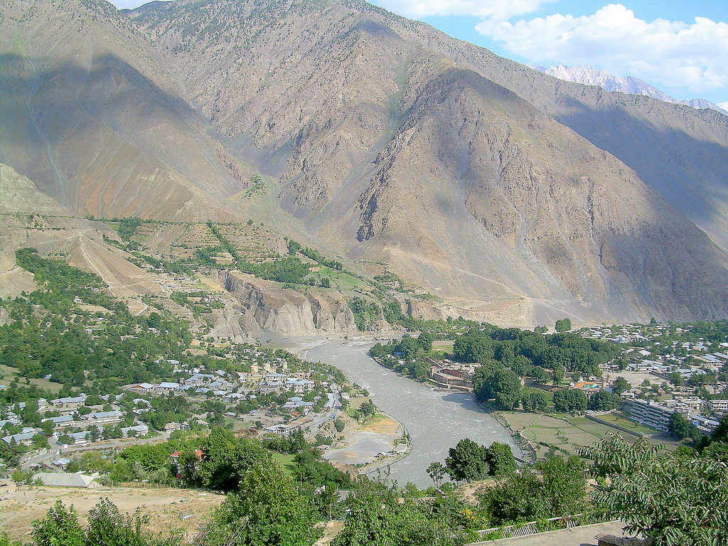
Kunar River
The Kunar at the village Kashkot in Kunar district of Nangarhar
Template: Infobox River / Obsolete
The river Kunar ( Kunar are Pashtun کونړ سيند ), which is also called Chitral in Pakistan, is about 260 km long ( with headwaters Mastuj and Yarkhun 480 km ) and flows in a southwesterly direction from the north-western Pakistan in eastern Afghanistan.
The river has carved the valleys of Chitral and Kunar, it is fed by meltwater from the glacier and snow melt in the mountains. It forms the eastern boundary of the Hindu Kush. To the east of the river, the mountains of Hinduraj raise. The river flows Lutkho with the Mastuj together in the north of the major regional center of Chitral in Pakistan and the New River where it is known Chitral before flowing south into the Kunartal in Afghanistan, where he is called Kunar.
The Kunar flows to the east of Jalalabad in Afghanistan to the Kabul River. This flows eastward to Pakistan and flows into the Indus Attock.
An examination of the UNHCR in the year 1990 with regard to the production of drinking water from the water of the Kunar River in the district of Marrawara in the Afghan province of Kunar found that 60 percent of the inhabitants of this district on unpalatable drinking water must fall back from the river.
History
Before the political division of Kunar and Chitraltals in the modern states of Afghanistan and Pakistan, these valleys were important trade routes that enabled the easiest way to be overcome on the Pamir mountains to the plains of the Indian subcontinent.


.jpg/640px-Kunar_River_(5355253284).jpg)

