Pan-Philippine Highway
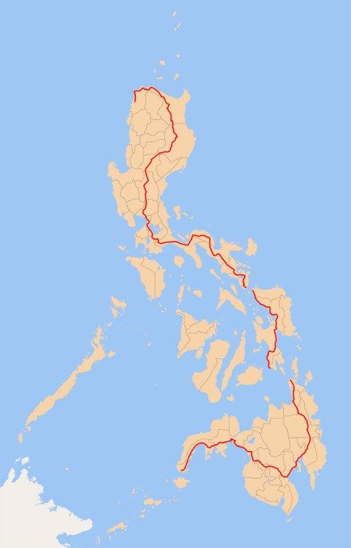
The Pan - Philippine road (also known as the Maharlika Highway) is a 3500 km long network of roads, bridges and ferry services connecting the islands of Luzon, Samar, Leyte and Mindanao in the Philippines together. It represents the main artery of the country and connects Laoag City in the north ( via Manila, Legazpi City, Tacloban City and Davao City ) with Zamboanga City in the south of the archipelago. In Asian highways project has AH26 road number.
Creation
The road was passed in 1965 with the intention of the government in order to be able to boost agricultural production through the road network in conjunction with other road construction projects and the resulting lower transport costs. In addition, we were promised a stronger social and economic development outside the major urban centers, as well as an increase in industrial production for in domestic and abroad market. The road was built and maintained by loans and grants foreign institutions, such as the World Bank.
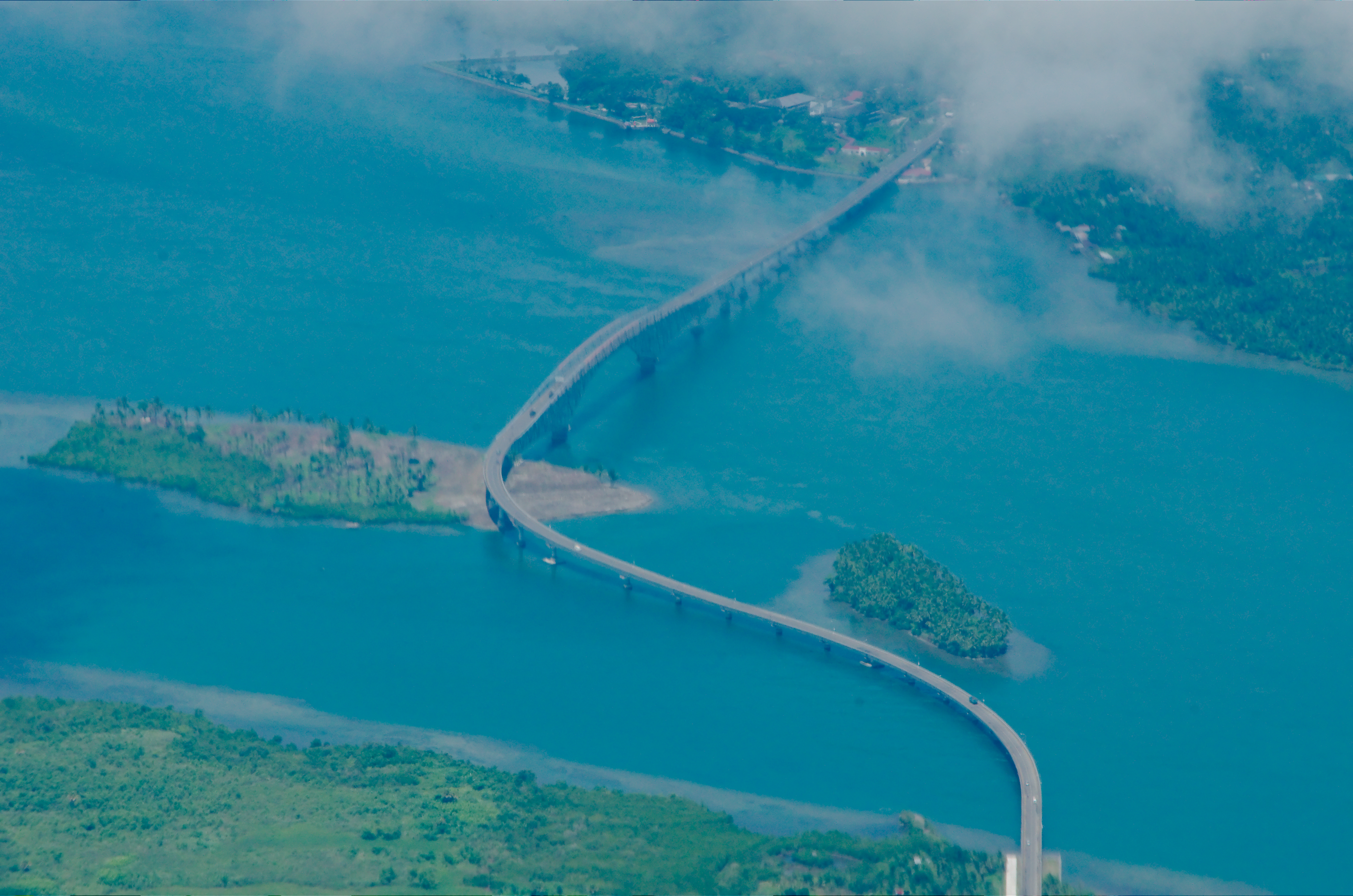
A central portion represents the San Juanico Bridge which connects the islands of Samar with Leyte. It is the longest bridge in the country and is considered an architectural masterpiece. The road network has been renewed and expanded what the street earned the name Filipino - Japanese Friendship Road in 1997 with support from the Japanese government.
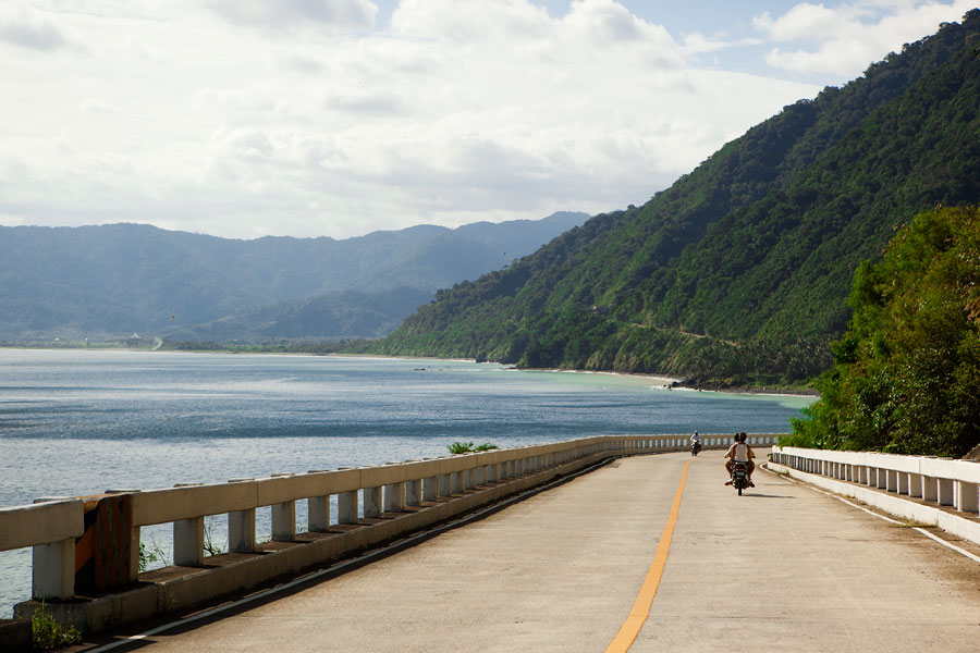
In 1998, the Ministry of Tourism 35 sections of the road declared a " Panorama Road ", which are special attractions for tourists and travelers.


