Thur waterfalls
47.202319.311771Koordinaten: 47 ° 12 ' 8 " N, 9 ° 18 ' 42" E; CH1903: 741914/229623
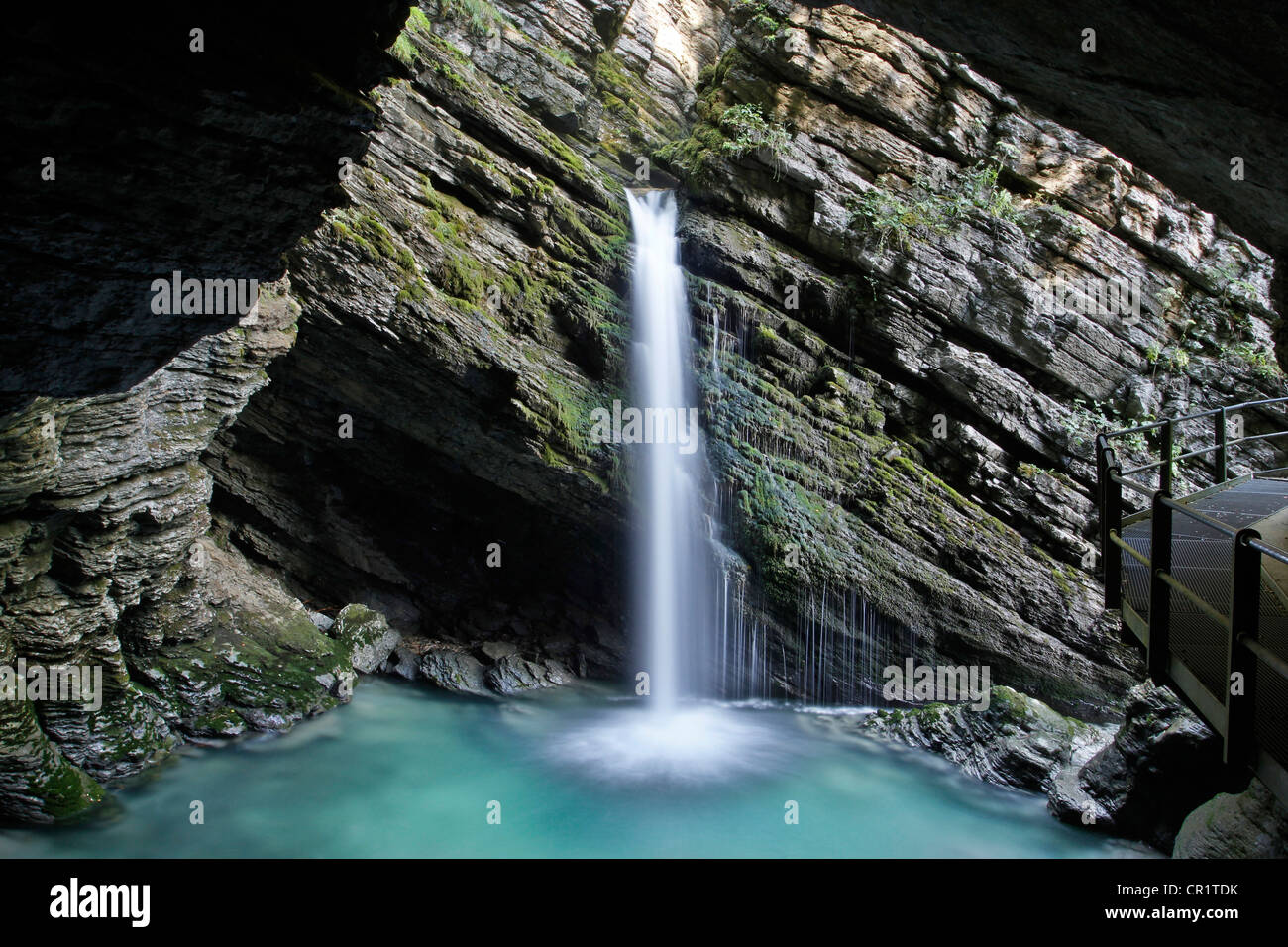
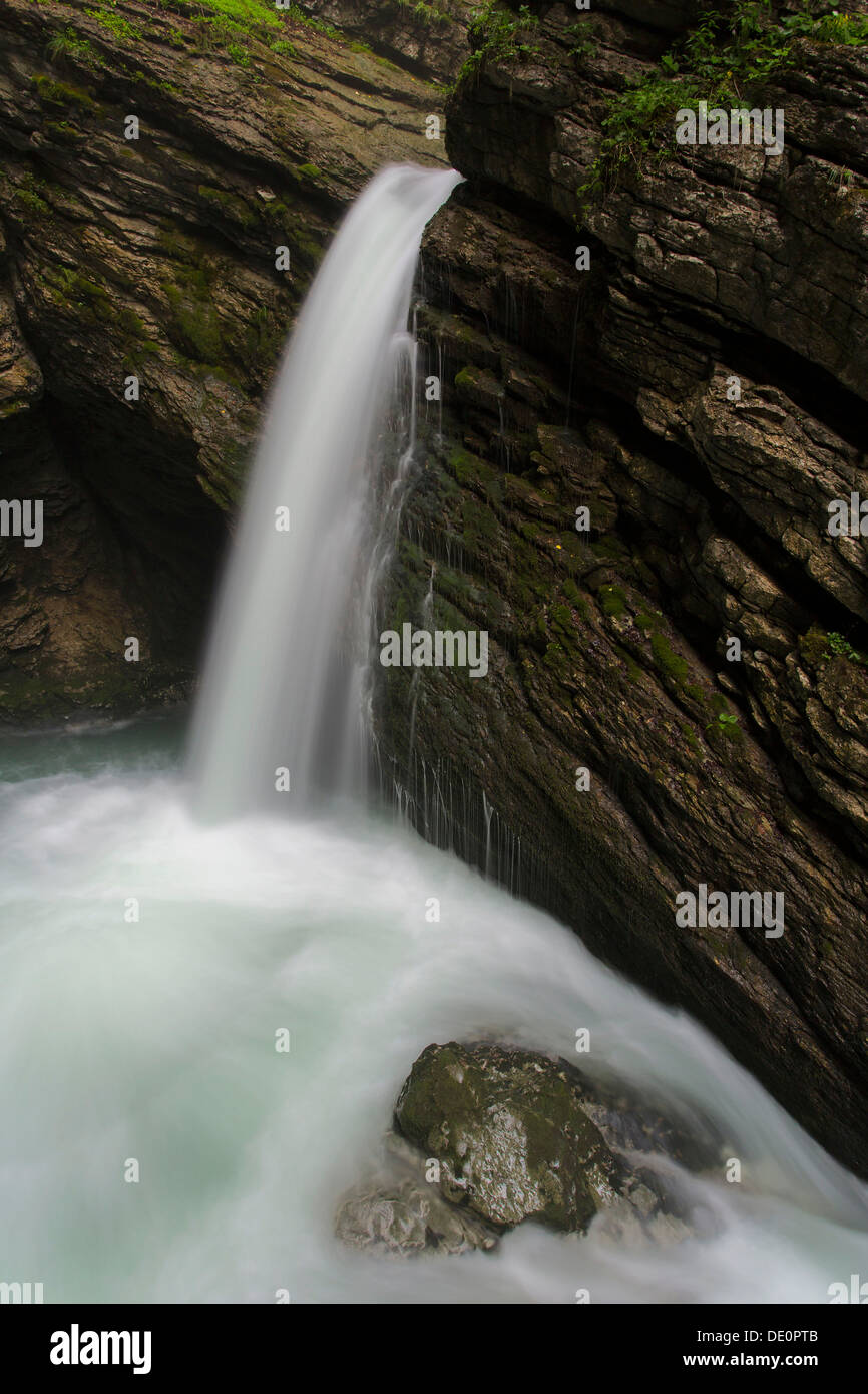
Under the name Thurfälle or Thurwasserfälle refers to the two-stage cascade of Säntisthur, one of the headwaters of the River Thur. They lie in underwater SG in the municipality wild house - Alt St. Johann in the canton of St. Gallen in Switzerland.
The upper level is referred to as Upper Thurfall (Swiss waterfall number 16.1), also known as Lower Thurfall (Swiss waterfall point 16.2 ).
The total drop height is 23 meters, of which 13 meters on the upper Thurfall and 10 meters on the lower Thurfall. The average discharge is 830 l / s The catchment area of Säntisthur is at the waterfalls 19.5 km2. After a long drought Thurfälle can dry out, especially in summer. The Säntisthur flows from below the waterfalls by the Chämmerlitobel.
Tourism
The Thurfälle are available starting by a trail of underwater through the Chämmerlitobel in a ten to fifteen minute easy walk. There are three viewing platforms. A gallery is located on the lowest level. Through a lit rock tunnel with picture windows other viewpoints are available, one of which can be observed from the lower Thurfall, the upper Thurfall, the Chämmerlitobel and the inflow to the waterfalls. The road and the galleries were opened up by the sub Wasseren Ernst Waldburger in 1927.
Of the Thurfällen trails lead towards Älpli on the pastures Gamplüt, for Gräppelensee until Santis or back towards Wildhaus and underwater.
Upper Thurfall
Lower case
Chämmerlitobel


