Waidhofen an der Thaya-Land
- ÖVP: 13
- UBL Template: Election chart / Maintenance / Name: 3
- SPÖ: 2
- FPÖ: 1
Waidhofen an der Thaya -Land is a municipality with 1197 inhabitants (as of 1 January 2013 ) in the district of Waidhofen an der Thaya in Lower Austria.
- 2.1 Population development
- 3.1 Coat of Arms
Geography
Waidhofen an der Thaya - Land is located in the northern Waldviertel in Lower Austria. The area of the municipality covers 32.44 square kilometers. 27.23 percent of the area is forested.
Community structure
The municipality includes the following 11 places (in brackets population as of 31 October 2011):
- Brunn (234 )
- Bach Book (148 )
- Noble Prince (67 )
- Götz Weis ( 84)
- Griesbach (16 )
- Kainrath (116 )
- Nonndorf (107 )
- Sarning (40 )
- Veste Poppen (240 )
- Wiederfeld (38 )
- Welfare (102 )
Katastralgemeinden are: Brunn bei Waidhofen, book Bach, noble Prince, Götz Weis, Griesbach at Waidhofen, Kainrath, Nonndorf, Sarning, Veste Poppen, Wiederfeld, Wohlfarts.
Neighboring communities
History
In the core Austrian state of Lower Austria lying the place told the eventful history of Austria. Brunn was first documented in 1230, Bach book in the first half of the 13th century, Götz Weis 1314, and Kainrath 1369th 1784 book Bach was elevated to a parish.
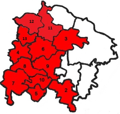
As part of the municipal structural reform of the federal state of Lower Austria, the districts and municipalities were commissioned from 1965 to induce the association of small communities to form due to financial considerations only communities of at least 1,000 inhabitants. For the district Waidhofen an der Thaya, the state government expressed the recommendation to unite ten municipalities within Waidhofen an der Thaya with the district town. After consultation with the other affected communities, developed the mayor of the municipality Veste Poppen, Franz Large, the proposal, instead unite the communities to a new community Waidhofen an der Thaya -Land. After the state government had agreed to this plan, the establishment has been initiated: On 1 January 1971, the formerly independent small communities Brunn, book Bach, Kainrath, Nonndorf and Veste Poppen joined together, according to the five municipal councils had given its approval in the fall of 1970. Only Ulrichschlag, Kleineberharts and Vestenötting joined voluntarily the city Waidhofen while Hollenbach and Puch forcibly Waidhofen were slammed because they had no common border with the other five municipalities.
Population Development
According to the results of the 2001 census, there were 1197 inhabitants. In 1991, the municipality had 1097 inhabitants, 1981 and 1127 in 1971, 1110 inhabitants.
Policy
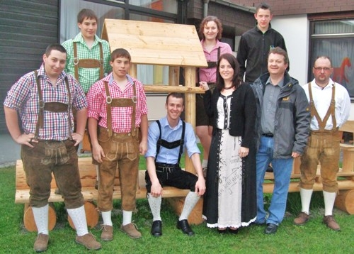
- Mayor of the municipality 's engineer Christian printer, Vice Mayor Johann Kasses and chief officer Hermann Scharf.
- In the council there after the municipal elections of 2010 a total of 19 seats following distribution of seats:
L.ÖVP 13, SPO 2, 1 FPÖ, UBL 3
Coat of arms
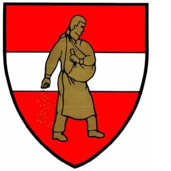
On the red shield with the silver bars on säender with the right hand a golden man running the country according to heraldic left.
Culture and sights
- Parish church of the holy book Bach Florian: The parish church is a Gothic hall church in the core, which was rebuilt in the Baroque and last outside completely renovated in the fall of 2008.
Economy and infrastructure
Non-agricultural workplaces, there were 16 in 2001, agricultural and forestry holdings according to the 1999 survey 108 The number of persons employed at the residence was according to the 2001 census 561 The employment rate in 2001 was 48.37 percent.


