Chittagong District
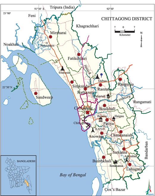
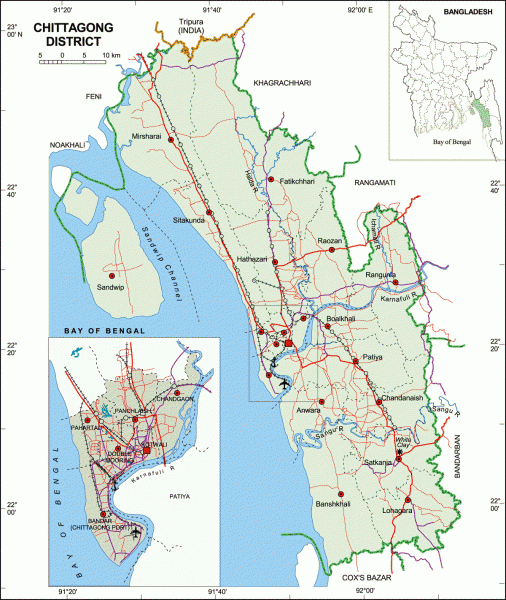
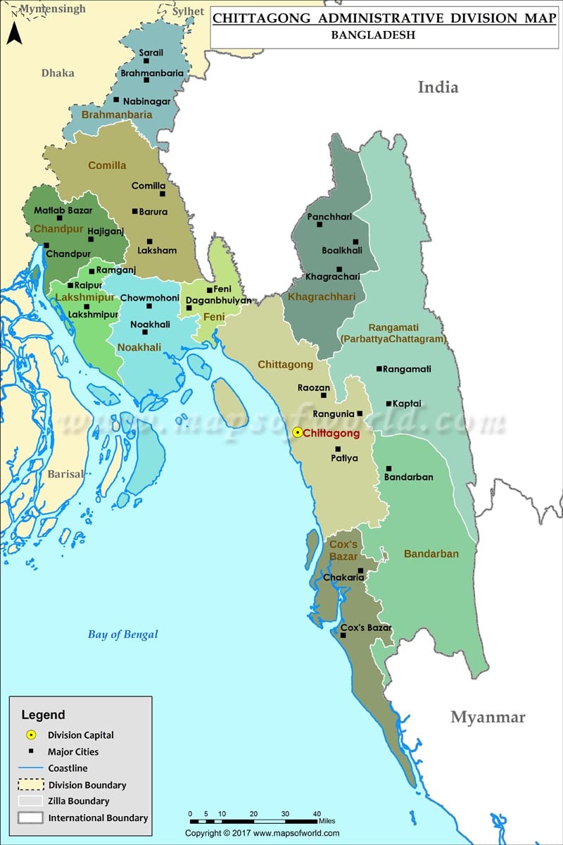
The district Chittagong ( Bengali: চট্টগ্রাম জেলা, Caṭṭagrām Jela Chottogram jela ) is an administrative unit in southeastern Bangladesh, which is within the Division Chittagong.
The 5282.98 km ² large district is bordered to the north by the neighboring district of Feni and the Indian state of Tripura, on the east by the districts of Bandarban, Rangamati and Khagrachhari, in the south of the Cox's Bazar District and to the west the district of Noakhali and the Bay of Bengal.
The main rivers are the Karnafuli, Halda and Sangu.
The 1666 already created administrative district Chittagong, initially involved since 1860 divided as Hill Tracts and now in three self-governing districts mountainous region on the border with India and Myanmar.
The district is divided into twenty so-called Upazilas: Anwara, Banshkhali, Boalkhali, Chandanaish, Fatikchhari, Hathazari, Lohagara, Mirsharai, Patiya, rank Unia, Raozan, Sandwip, Satkania, Sitakunda, Chandgaon, Bandar Thana ( port area ), Double Mooring, Kotwali, Pahartali and Panchlaish.
Within this administrative subdivision, there is the City Council of the metropolis Chittagong, seven self-governing cities ( municipalities ), 197 Union Parishads (village councils) and 1319 villages.
The largest city in the district is more than three million inhabitants, Chittagong. Situated on the estuary of the Karnafuli seaport of Bangladesh is the largest trade center for tea, leather, dried fish, and textiles.
History
Chittagong is a settlement area since ancient seaport. Arab sea traders led trade through the port in the 9th century. The region was in the sixth and seventh century under the influence of the Kingdom of Arakan. Before spread of Islam in the region, made Burmese kings asserted their sphere of influence. Sultan Mubarak Shah of Sonargaon conquered Fakruddin Chittagong 1340. Through the defeat of Sultan Mahmud Shah Giasuddin in 1538, who fought on behalf of Sher Shah, Chittagong came again under the influence of the Kingdom of Arakan. From then on the Chittagong region was controlled by the Portuguese and the so-called Magh pirates. Bujurg Umed Khan, a general of the Moguls, the Portuguese expelled from the territory in 1666 and verleibte the territory of the Mughal Empire a. Meanwhile, the city was renamed in Islamabad (City of Islam). In the 18th century, the region fell to the British, who in 1947, especially the port for transportation of goods extensions to the partition of India.


