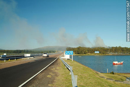
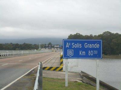
Arroyo SolÃs Grande
The Arroyo Solís Grande is situated in the south of Uruguay River.
The left-hand tributary of the Río de la Plata rises in the Sierra de Minas at an altitude of about 250 meters above sea level. Its source lies south-west of Barrio La Coronilla and Minas at Cerro del Puma and Cerro Blanco. From there it runs initially in a westerly direction and is thereby fed by several small streams, such as the del Potrero de los Perros said, the Atahona and the de Garrido. After nearly eight kilometers, it changes direction then south. Here the left side meets the inflow de los Membrillos on him. From about five kilometers north- northeast of the city of Montes Arroyo Solís Grande serves as the department boundary between Lavalleja and Canelones. It happened on his future both this city and a few miles further south Solís de Mataojo. His larger right-side tributaries are Arroyo del Sauce, Arroyo Sarandi, Arroyo del Sauce Solo, Arroyo de Solís sauce, quebracho Arroyo and Arroyo Tío Diego. On the left side of Arroyo de los Chanchos, Malvín Arroyo, Arroyo curupi, Arroyo Sarandi del Arroyo and Navarro are emphasized.
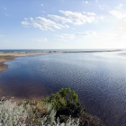
At its confluence with the Río de la Plata between the situated in the territory of the department of Canelones resort Jaureguiberry and Solís, the Department of Maldonado associated, he forms a sandbar. The size of its industrial activity almost pristine catchment area is around 1,400 km ².


