Bilstein (Langenberge)
BWf1
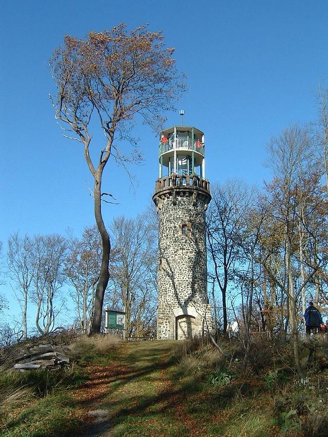
The Bilstein is a little more than 460 m above sea level. NN high elevation in the main ridge of the mountain forests hawk land belonging and spacious wooded Langeberg Mountains in the north Hessian Schwalm- Eder-Kreis.
Geography
Location
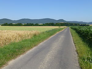
The Bilstein, of the main ridge of the Langeberg Mountains, consisting among other things of Schwengeberg ( 556.7 m), running head ( 534.8 m) and Bensberg ( 464.8 m above sea level. NN ), extended to the south-southeast down, rises in the nature park Hawk Forest between the villages of Besse ( to Edermünde ) in the east-southeast and Ermetheis ( to Niedenstein ) in the west-northwest. He is particularly within the Municipality Edermünde, parts of its western flank count to that of the city Gudensberg. Its nearest neighbor is approximately 650 m north-northwest location Bensberg. To the south, the landscape flattens gradually to leisurely to rise to Kammerberg to 360.8 m height.
Watercourses
West of the Bilsteins flows the small river Elster, whose waters by the end southwestward aspiring Matzoff the Eder inflow Ems flows to and slightly northeast of the survey ultimately stems from the eastward extending pilgrims stream, which flows directly into the Fulda inflow Eder.
Mountain height
The Bilstein is just over 460 meters high. Just east of its summit is listed on 459.4 m altitude on topographical maps, a measurement point.
Others
A few meters southwest of the Bilstein summit is a small ring wall. Slightly southeast of the summit, rocky cliffs are spreading; from a local viewpoint along with shelter falls the view particularly to the east and southeast. Over, the trail Löwenweg (Warburg Alsfeld ). In unforested, the lower part of its eastern and south-eastern flank are right next to each other belonging to Besse local basis On Battberg and to Rainsborn. There is also the trail parking lot Bilstein.


