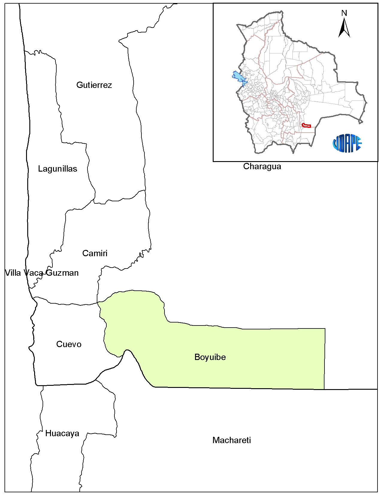
Boyuibe
Boyuibe is a country town in the department of Santa Cruz in the South American Andes State of Bolivia.
Location in near space
Boyuibe is the central place of the district ( bolivian: Municipio) Boyuibe in the province of Cordillera. The city lies at an altitude of 811 m on the eastern edge of the Sierra Boyuibe, northern foothills of the Serranía Aguaragüe Voranden chain, the eight kilometers west of the city rises here and the heights of more than 1400 m.
Geography
Boyuibe lies in the tropical climate of the South American Gran Chaco, the six-month period humidity ranges from November to April and the dry season from May to October ( see climate chart Camiri ).
The average annual temperature is 23 ° C, 17 ° to 18 ° C from June to July and about 26 ° C in November and December. The annual rainfall is about 900 mm, wettest months are December and January with 175 mm and driest months of July and August, with just under 10 mm.
Traffic network
Boyuibe lies at a distance of 349 kilometers of road south of Santa Cruz, the capital of the department.
From Santa Cruz the paved highway Route 9 via Abapo and Ipitá after Boyuibe and another 187 kilometers to Yacuíba on the Bolivian southern border with Argentina. From Boyuibe also results from the Ruta 36 in a northeasterly direction over Charagua after Abapo.
By Boyuibe the railway from Santa Cruz leads to Yacuíba that has a breakpoint in Boyuibe. From here, there are passenger connections to the north as in the south, which carry passengers in about eleven and a half hours to Santa Cruz and in five hours after Yacuíba.
Population
The population of the town has risen in the past two decades by more than a third:
Due to the historically evolved population distribution, it presents a certain proportion of the Guarani population in the municipality of Boyuibe 22.8 percent of the population speak the Guarani language.


