Bozel
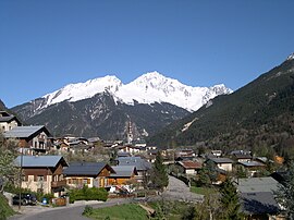
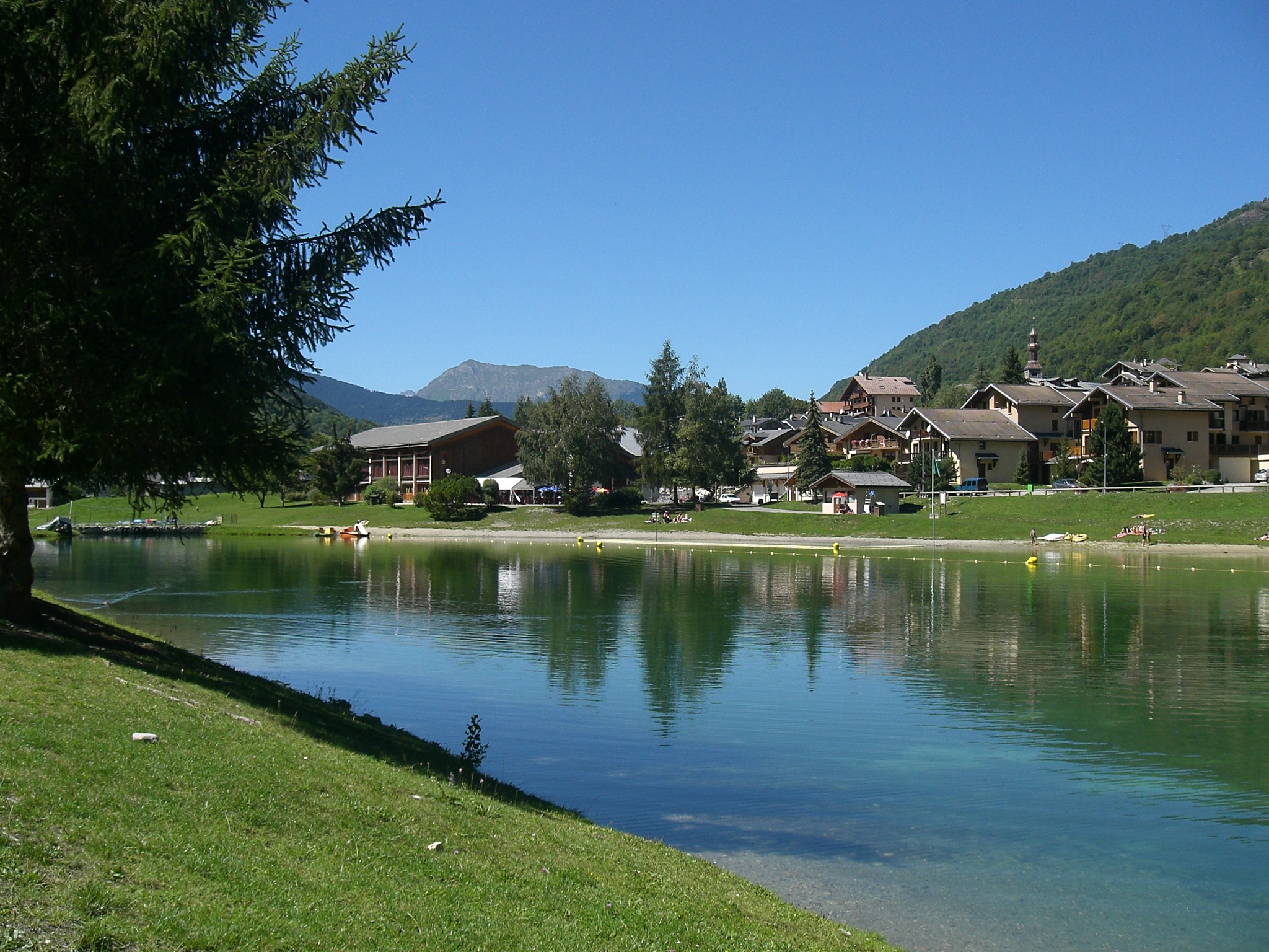
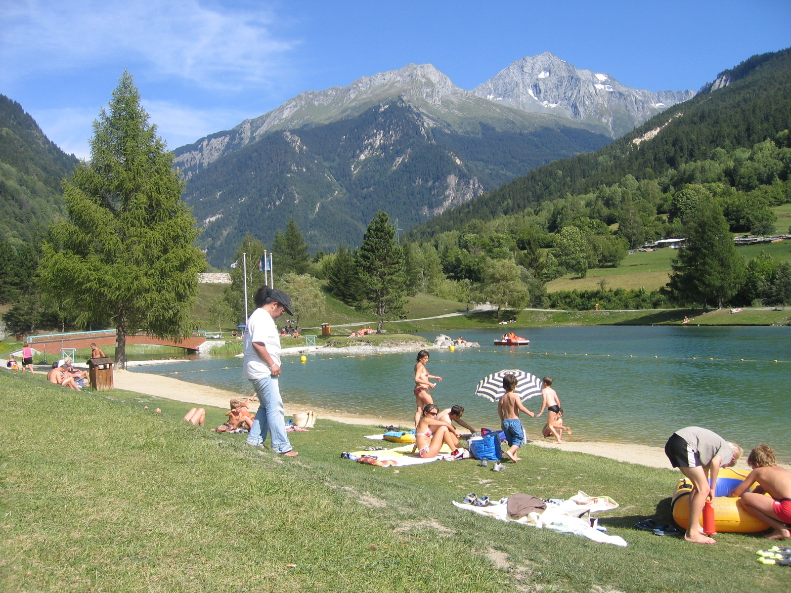
Bozel ( Franco-Provençal: Bozé ) is a French municipality with 2023 inhabitants (as of January 1, 2011 ) in the department of Savoie in the Rhone -Alpes. It belongs administratively to the Arrondissement Albertville and Canton Bozel, whose main town ( chef -lieu ) it is.
Geography
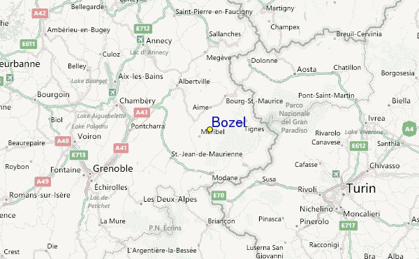
The community is located about 35 kilometers southwest of Albertville in the valley of the River Doron de Bozel. Neighboring municipalities are:
- Aime and Macot- la -Plagne in the north,
- Champagny -en- Vanoise in the Northeast,
- Planay in the southeast,
- Saint -Bon -Tarentaise in the south,
- Montagny in the west and
- Notre- Dame-du -Pré in the northwest.
The highest point in the municipality district is the peak of the Dent du Villard at 2594 m asl Further surveys are the Ville Martin ( 1116 m), the Trincave ( 1263m ), Les Molli Nets (1111 m) and Le et Ratelard Lachenal (1350 m). The creek Bonrieu with its tributaries, drains the area on the north side, crosses the municipal seat and opens on the southern outskirts of the Doron de Bozel.
History
The village belonged at the time to the historical province of Tarentaise and was called in 1170 " Bosellis ," about 1691 " Bossel », 1759 « Boss Elles " and 1764 " Bozeil ".


