Caniapiscau Reservoir
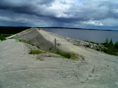
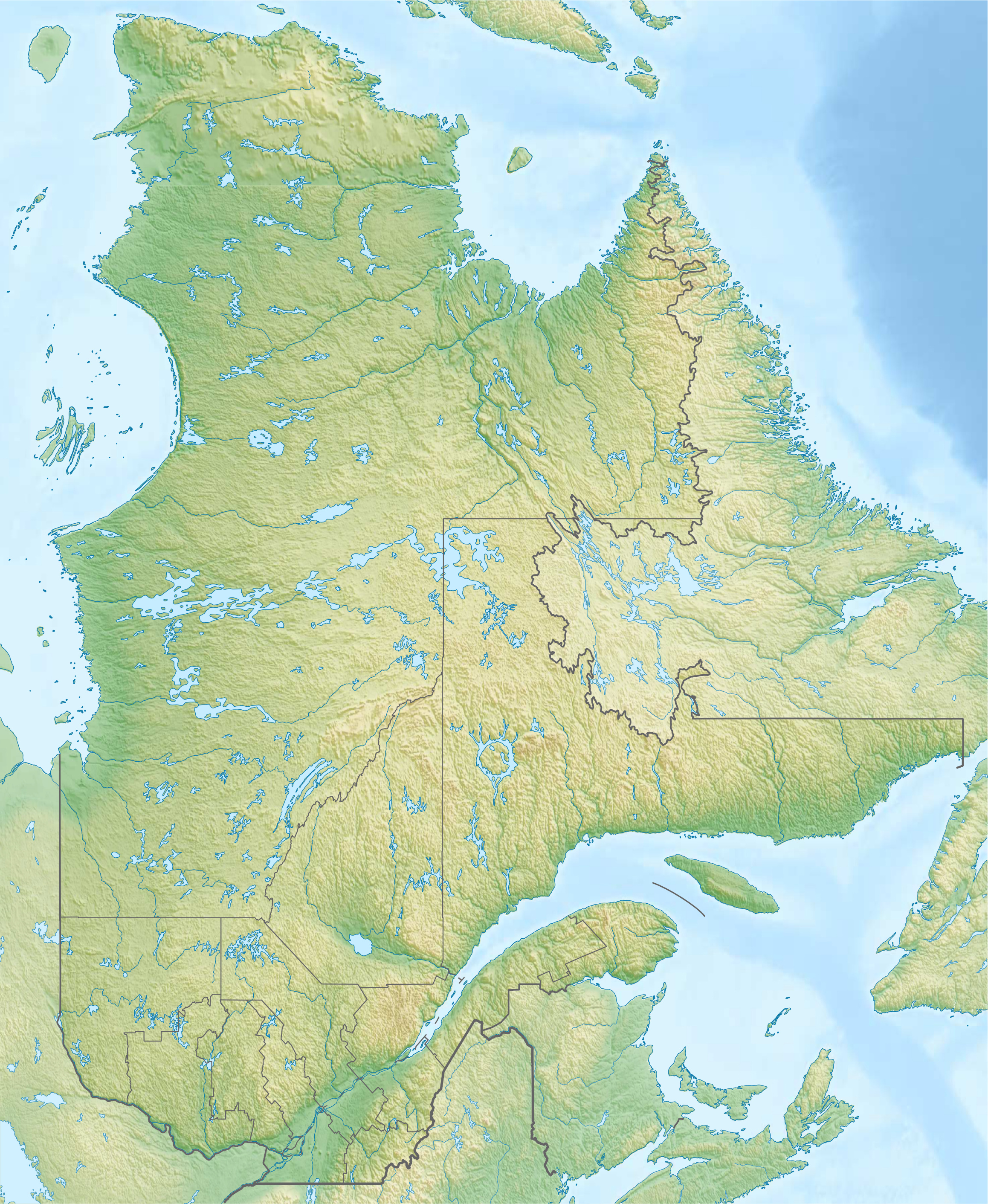
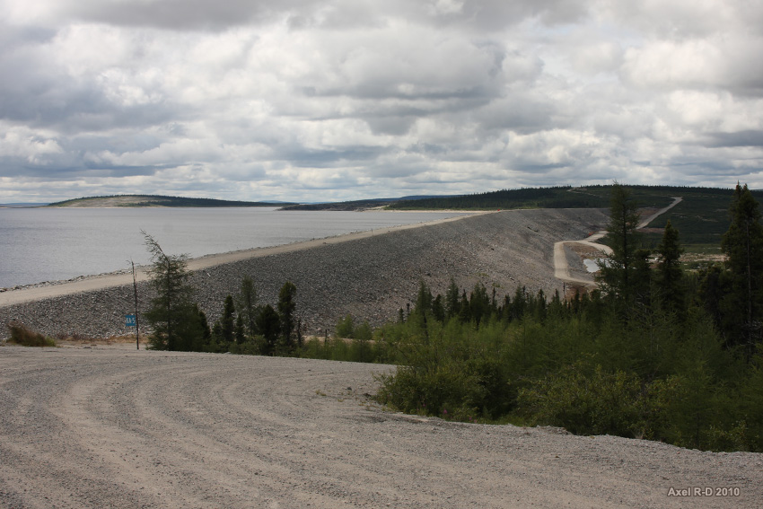
The Caniapiscau Reservoir ( French Réservoir de Caniapiscau ) is an artificial lake in the Canadian province of Québec, in the Regional County Municipality Caniapiscau the administrative region Côte- Nord. With an area of 4318 km ² it is the largest standing waters in Quebec and the second largest reservoir in Canada. The reservoir is located at the (former) headwaters of the Rivière Caniapiscau (the river above the dam was in Rivière René Lévesque - renamed). Construction on the dam began in 1981 and were completed in 1984. The dam forms part of the James Bay hydroelectric project of the state-owned power utility Hydro-Québec.
History
The natural lakes in this region were formed around 9,000 years ago when the glaciers that had the Canadian Shield ground 90,000 years long, withdrew. The lakes created by the damming of ice dams and were drained southward into the St. Lawrence Gulf, while the more northerly areas ( Nunavik ) were still glaciated. As the southern part of the Canadian Shield as a result of postglacial land uplift is raised faster than the northern, the water began to the north in the Rivière Caniapiscau to flow and from there into the Rivière Koksoak and finally in the Ungava Bay.
Prior to the flooding of the Lac Caniapiscau covered an area of 470 km ². In the 19th century, hunters and fur traders searched regularly on the lake. 1834 opened the Hudson 's Bay Company the Kaniapiskau outpost to connect their facilities in the region around the James Bay with those in the Ungava Bay. 1870 she joined the outpost, however.
The name of the lake comes from the Cree expression kaniapiskau or kaneapiskak, which can be translated as " rocky place " or " place with a rocky place ." The geologist Albert Peter Low in 1895 noted that " protrudes a high rocky headland in the sea." Probably he was referring to a North westward peninsula, which gives the dam its present circular arc shape.
In October 1981, the Société d' Energie de la Baie James began (a subsidiary of Hydro-Québec ) with the construction of the Absperrbauwerke Caniapiscau Reservoir. The damming lasted until August 1984. Numerous smaller lakes such as Lac Caniapiscau, Lac Delorme Lac Brisay, Tournon Lac and Lac Vermouille were flooded. The project was part of the 16 billion CAD expensive development project Complexe La Grande, Phase 1
Description
The reservoir covers 4318 km ², an area about four times as large as that of the natural lakes that had been flooded, with a coastline length of 4850 km. Thus, the Caniapiscau Reservoir is the tenth largest artificial lake in the world. It lies in a valley in the highest part of the Canadian Shield. The catchment area is about 36,800 km ². The water level fluctuates seasonally by 12.9 meters. The greatest depth of the lake is 49 m, the average residence time of water in the reservoir 2.2 years.
Since August 1985 régulateur Brisay is directed westward from a large part of the water in the Rivière Laforge from Regulierbauwerk Ouvrage that belongs to the catchment area of the La Grande Rivière. There are several large hydroelectric power plants, which are also fed by other rivers. Since the Caniapiscau Reservoir is the highest memory he regulates as annual and multi- annual storage of the entire complex. At one outfall at the western end of the reservoir hydropower plant Brisay was built, which has been operational since 1993.
About the Duplanter - flood discharge excess water is discharged into the Rivière Caniapiscau. The performance of the spillway of the dam is given as s 3681 m³ /. It consists of two openings on the north side of the dam on the west branch of the river. The openings are 12 meters wide and 16.5 meters high.
Environment
The Caniapiscau Reservoir is located in a zone of discontinuous permafrost. The area around the lake is completely covered by boreal forest. Characteristic are widely spaced black spruce and a thick layer of yellow- gray lichens, interspersed with bogs and swamps.
Usually, the area is accessible only by small aircraft. Since 1981 there is the route Transtaïga, one leading to the Route de la Baie James gravel road of about 600 kilometers in length, which connects several hydropower stations with each other. At the end of this road at the Duplanter - spillway is the former Camp Caniapiscau Société d' Energie de la Baie James. There were 1977 housing for the workers who were working on the dam. Otherwise there is no human habitation in the vicinity of the dam, except for some seasonal facilities used for hunters and anglers.


.jpg)
