Canning River (Alaska)
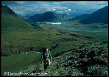
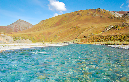
Mouth of the Marsh Fork Canning River in the
River Delta in the coastal plain of the North Slope
Its headwaters located in the Franklin Mountains, a mountain range of the Brooks Range. It flows in a river delta in the coastal plain of the North Slope in the Camden Bay of the Beaufort Sea.
The upper reaches of the Canning River runs for about 25 km westwards and then turns north. Middle and lower reaches form the western boundary of the Arctic National Wildlife Refuges.
The river was part of the controversy over oil drilling in the Arctic Refuge.
Named was the river in 1826 to George Canning, a British politician. The original name of the Inuit was Kogruak, which translates as "old river " means.


