Khangai Mountains
Mountains of Russia, Mongolia, Kazakhstan and China
The western Khangai with Chöch Nuur and Otgon Tenger Uul
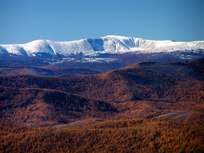
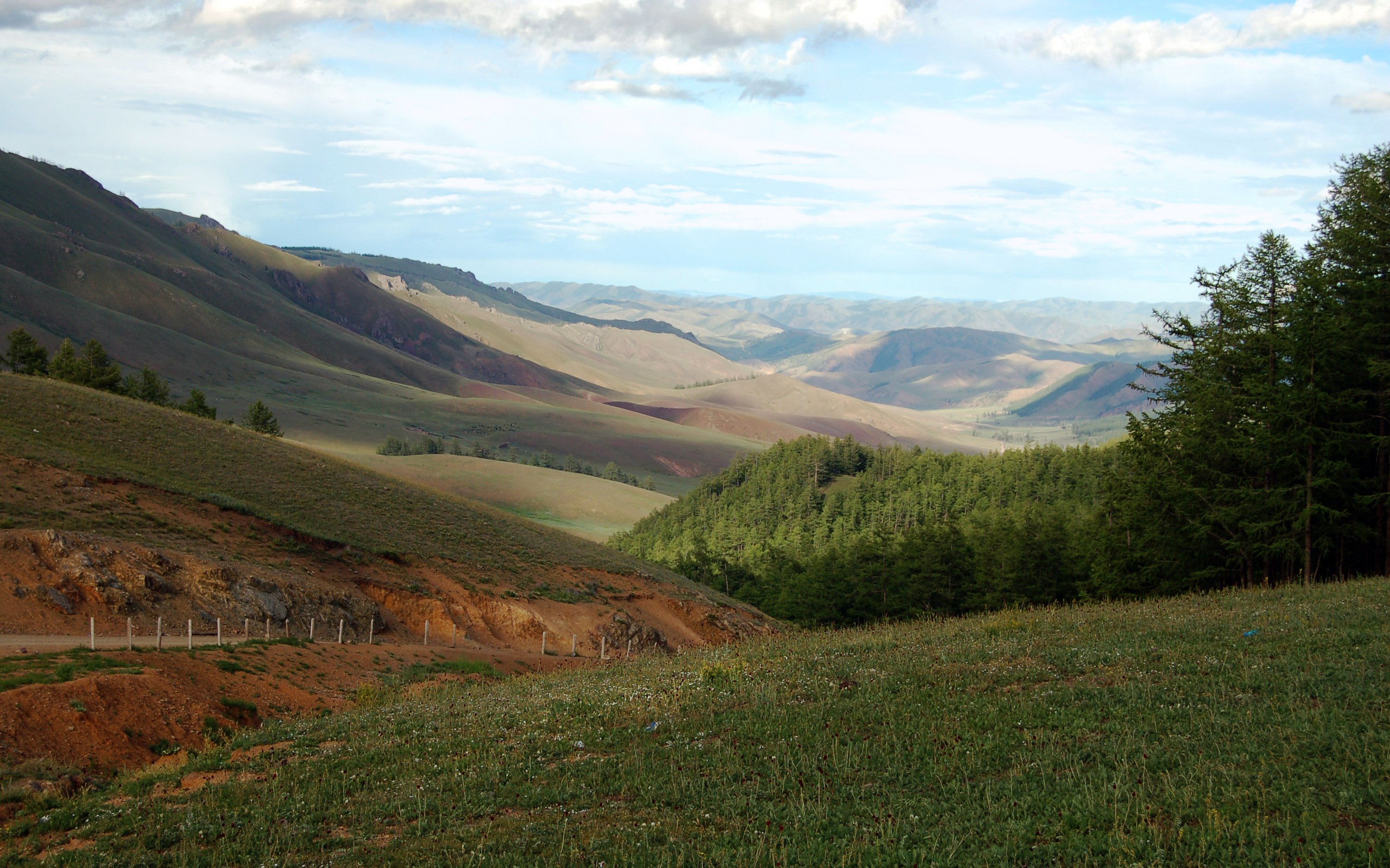
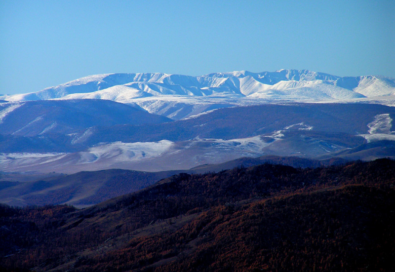
The Khangai mountains (Mongolian Хангайн нуруу ) is a mountain range in central Mongolia. It has an area of approximately 500 km in the east-west direction and 300 km in north-south direction.
It rises from the Mongolian highlands and falls to the northeast over the Idertal in the sprawling valley of the Selenge from. To the east and southeast of the Gobi Desert and on. In the south highland areas lead on to the Gobi - Altai, Mongolian Altai in the west for such and Russian Altai. In the north- west rises beyond the valley of Tes ( Tesiin Gol ), the Tannu - Ola Mountains.
The highest peak of the Khangai mountain range is the Otgon Tenger Uul, with a height of 4008 m. In the mountains arise, among others, the rivers Chuluut, Dsawchan Gol, Ider, Ongi, Orkhon and Tes ( Tesiin Gol ). The Khangai is a relatively water-rich region within Mongolia and one of the most densely populated areas of the country outside the capital region of Ulan Bator. The Khangai Mountains represents one of the best trekking areas of Mongolia


