Lamon Bay
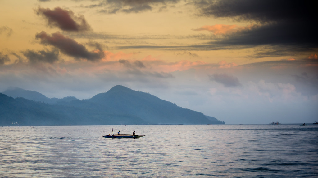
The bay of Lamon is a part of the Philippine Sea, on the east coast of the island of Luzon in the Philippines. The bay extends from Polillo Archipelago on the north coast of Quezon province to the coast of the province of Camarines Norte. The largest islands within the bay are Alabat, Cabalete and Balesin. The southern part of the bay of Lamon is divided by the island Alabat in the two smaller bays Lopez and Calauag.
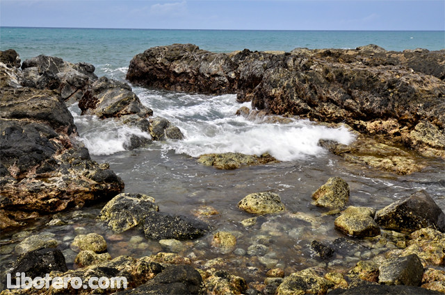
The coastline of the bay of Lamon is determined by a mixture of mangrove forests, sandy beaches and dried-out coral reefs. The coastal coral reefs are dead and partially covered by debris. Large mangrove forests extend on the south coast of the island Alabat; preceded them are larger marshes that dry out at low tide. The average tidal range is about 1.25 meters.
The climate in the area of the bay of Lamon is tropical, hot and humid without marked dry season. The bay is haunted by their location in the typhoon season of severe storms regularly. The heaviest rains fall from November to January.
With the invasion of the Philippines in December 1941, the Japanese invasion forces landed in the bay of Lamon on the beaches of communities Mauban, Plaridel ( Siain ) and Atimonan.


