Mont Cenis
45.2064166666676.9576944444444Koordinaten: 45 ° 12 ' N, 6 ° 57 ' E
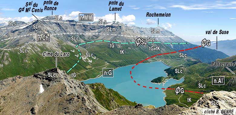
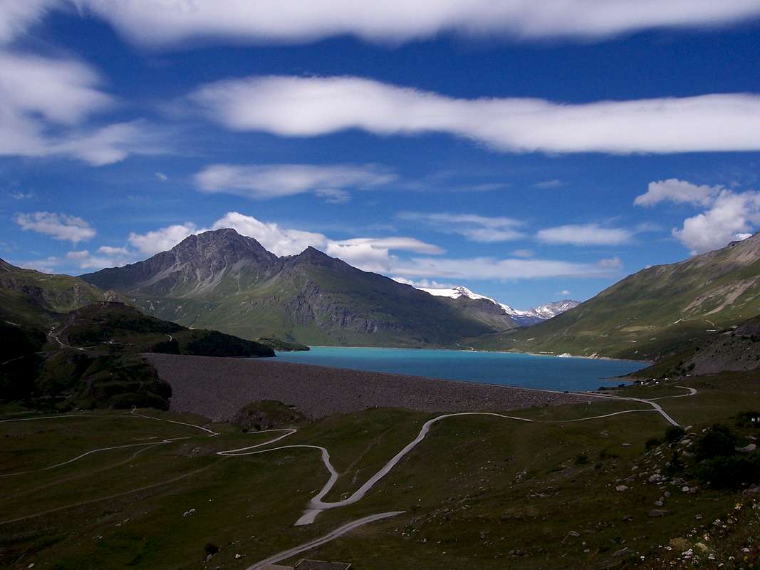
The Mont Cenis (Italian Mont Cenis or Monte Cenisio ) is a mountain massif in the Graian. The French part of the region is part of the outer zone of the Vanoise National Park ( Parc National de la Vanoise, French ).
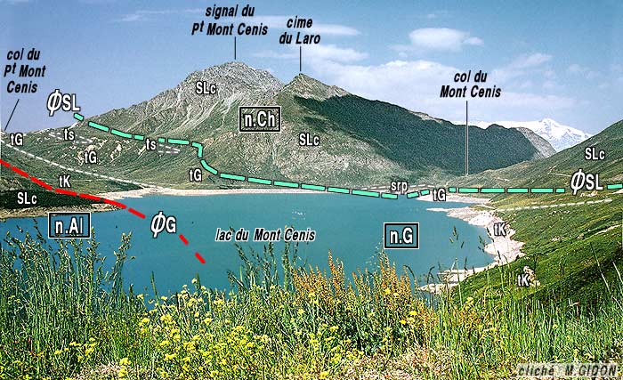
On a high plateau south of the massif, the summit of the Col du Mont Cenis is located at a height of 2083 m slm. The pass road from Lanslebourg -Mont- Cenis, Lanslevillard to Susa is on the French side the department road D 1006 and on the Italian side, the Strada Statale SS 25
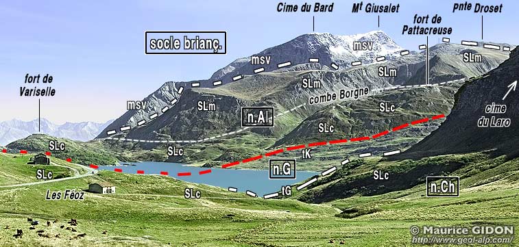
South of the pass is the reservoir Lac du Mont Cenis. A little further south is the boundary between France and Italy.
Tourism and hiking trails
The Plateau Mont-Cenis is a popular tourist destination. In Les Fontanettes there is a small historical museum and an Italian- French information center.
The long-distance footpaths Via Alpina and Alta Via Val di Susa pass over the Mont-Cenis Plateau.


