Togo Mountains
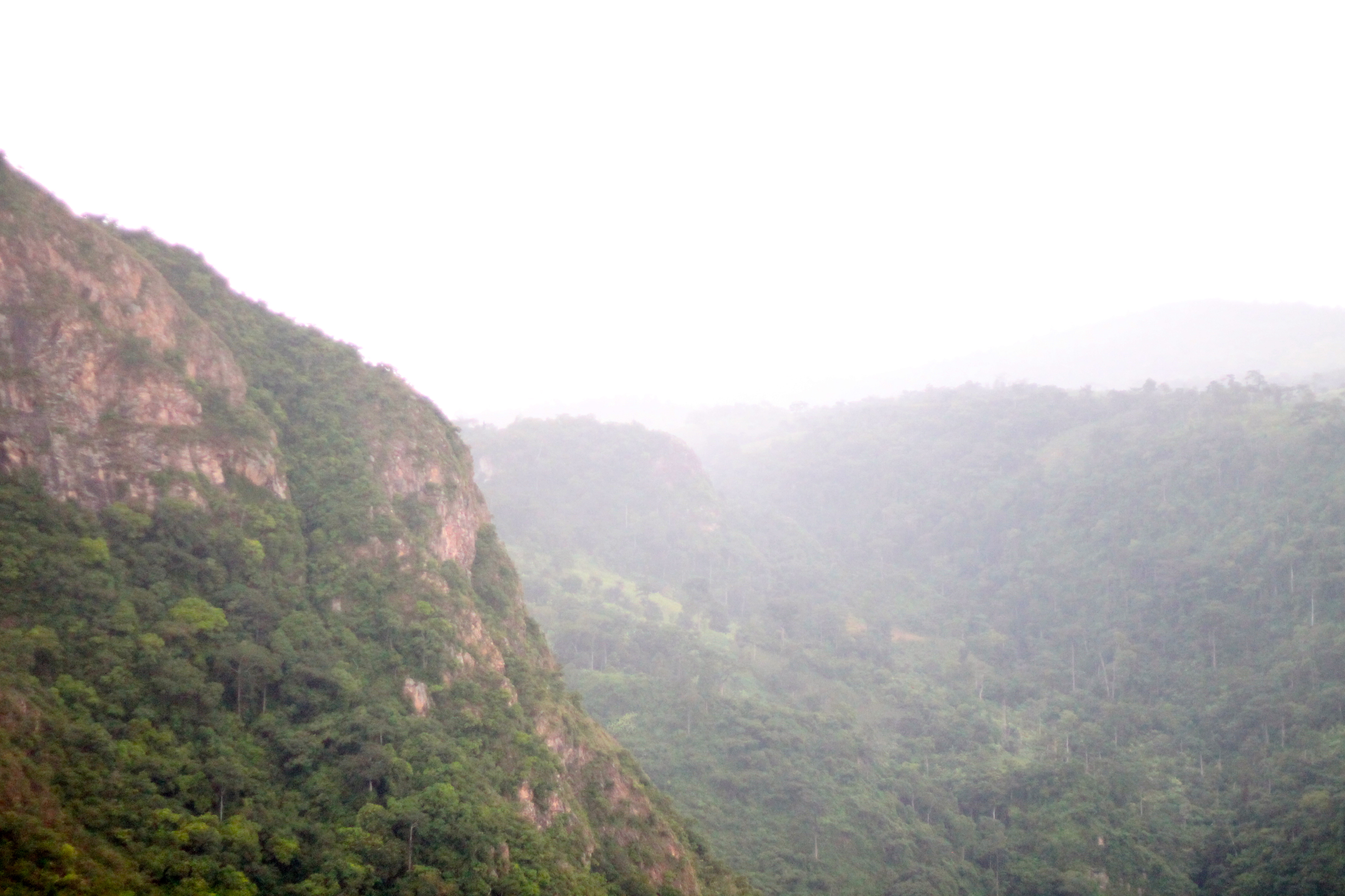
The Atakora mountain range ( Chaîne de l' Atakora ) is a running from northeast to southwest mountain range, which begins in Ghana north of Accra and then spreads across the border to Togo to Benin and Burkina Faso.
In this mid-mountain world (the height reached 600 meters above sea quite. Above sea level) are recorded comparatively high rainfall. The mountain range provides a natural border between the regions of North and South Sudan because of its height and its extension dar.
The highest mountain of Atakora chain is the Mont Agou ( Mont Baumann, 986 m), the highest mountain in Togo. The highest mountains of Benin, Mont Sokbaro (658 m) and Mont Tanekas (641 m ) are also part of the Atakora chain. In the northeastern part of the Atakora chain Pendjari, a tributary of the Volta springs.
The predominant rocks are sandstones, mica schist and quartzite from which to build up the mountains. On the plateau of Atakora mountain chain by the not too hot but humid climate where relatively favorable conditions for farming. The high level of this low mountain range is very sparsely populated. The use of arable land occurs extensively, that is a very large field - fallow cycle. The often living in subsistence farmers to build partially also for the sale of corn, millet, peanuts, yams, and cotton.
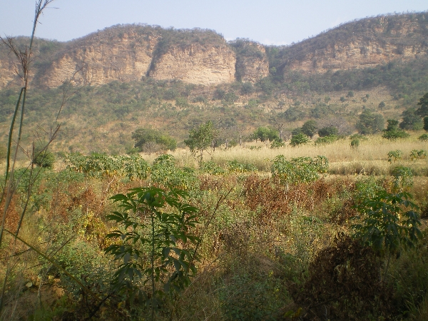
View from the mountain range in the vicinity of the entrance from Pendjari National Park in the plain to the north -west.
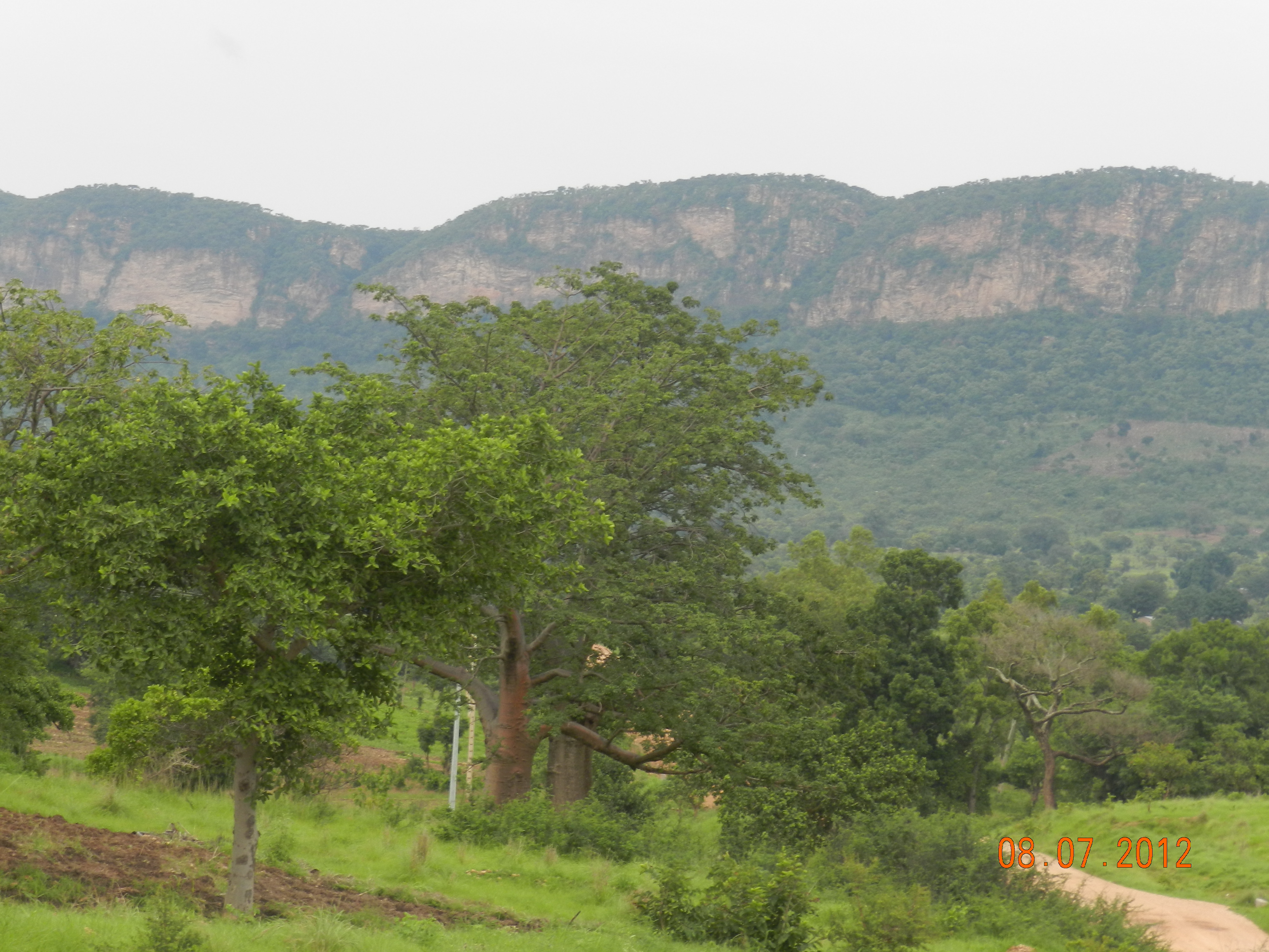
Looking towards the southwest on the Atakora chain ( left) and foothills south outside the Pendjari National Park ( Benin) near the park entrance in Batia.
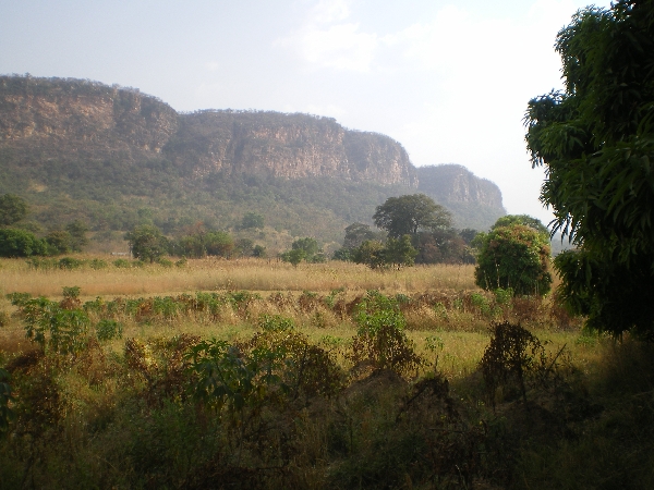
Look at the Atakora chain from Pendjari National Park ( Benin) from
Tree savannas of Atakora chain in the partial Réserve de la Kourtiagou.


