Augstmatthorn
Seen Augstmatthorn of Habkern from
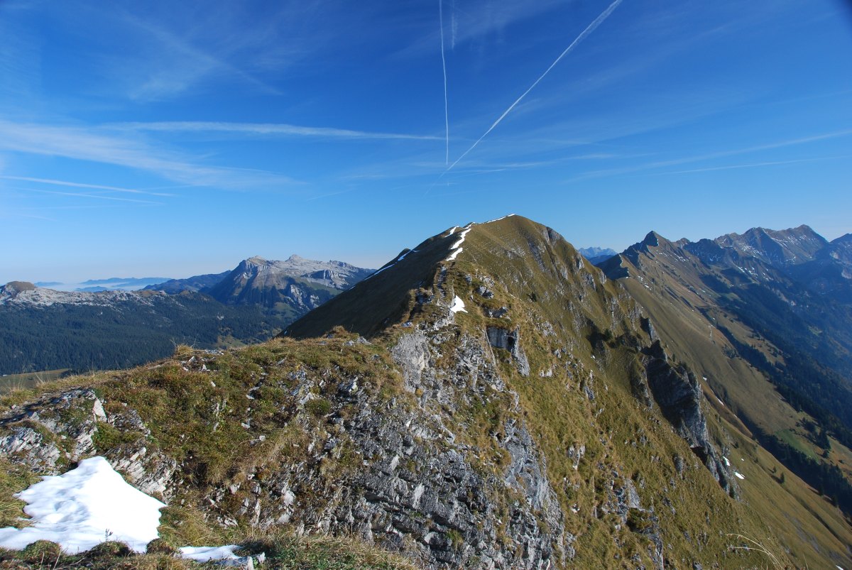
The Augstmatthorn is a 2,137 m above sea level. M. high peaks in the Alps Emmentaler, a subgroup of the Bernese Alps. It rises in the central part of the 25 km long Brienzergrates, extending from the Harder Kulm in Interlaken via Brienz Rothorn Augstmatthorn and to Brünigpass. The Augstmatthorn is itself a profile (viewed from north or south) comparatively little raised Gratgipfel, the approximately 1 km south-west a 2,085 m above sea level. M. high, rugged rising from the ridge and thus quite striking addition to the summit, the Suggiture, is upstream.
The Augstmatthorn falls into the hunting area of the town Oberried FR.
Location
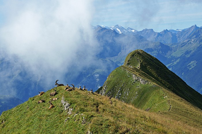
The Augstmatthorn is the home mountain village Habkern on the north side and rises above the villages of Upper and Lower Ried Ried on the shore of Lake Brienz in the south. On the Augstmatthorn was settled in the early 20th century, the first ibex colony in Canton Bern, which is visible with binoculars from Habkern from. From the summit you have a good view to the south of the Eiger, Mönch and Jungfrau mountains and of 1573 m below Lake Brienz. In the north Habkern village and the Hohgant to see. In winter Lombachalp a ski slope with ski tow in operation.
Beginning in June 2013 came from the north-west flank of the Suggiture from a larger debris flow, some of the access roads impassable made for Gratwanderweg of Habkern from beside damage to bridges.
Routes
To celebrate the Augstmatthorn, can be parked on the Lombachalp for a fee. However, it can also be walked from Brienz or the Harder Kulm.
Round trip warehouses Stutz- Augstmatthorn - Suggiture - Querweg - warehouses Stutz
This hike is also possible in the winter with touring skis.
- Time: 3.5-4 hours
- Difference in altitude: 600 m
- Starting point: Habkern, Lombachalp
Harder- Horet - Suggiture - Augstmatthorn - Schwendallmi - Habkern
Ridge hike with stunning panoramic view
- Time: 6 hours
- Difference in altitude: ascent 850 m, descent 1100 m
- Starting point: Harder Kulm
All trails on Lake Brienz ridge are as mountain trails signals (white-red - white markings, T2 -T3, the path is consistently good recognizable ) and require sure-footedness, particularly the west rise to the Suggiture and the other way to the main summit. In the area some particularly steep places are covered with steel cables, but this is not for some fairly exposed ridge itself is.
Gallery
Augstmatthorn / Suggiture with snow
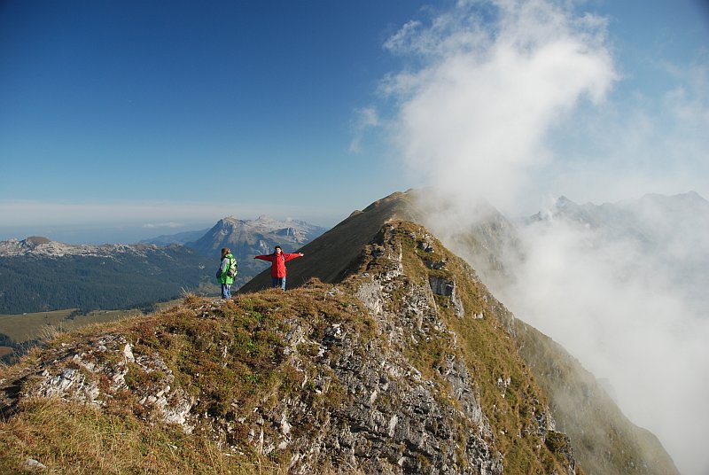
Augstmatthorn with Suggiture (right) seen from the ridge from southwest; bottom left of the debris flow June 2013
View from Suggiture along the ridge to the main summit Augstmatthorn -


