Awash River
Map
Awash Falls
Template: Infobox River / Obsolete
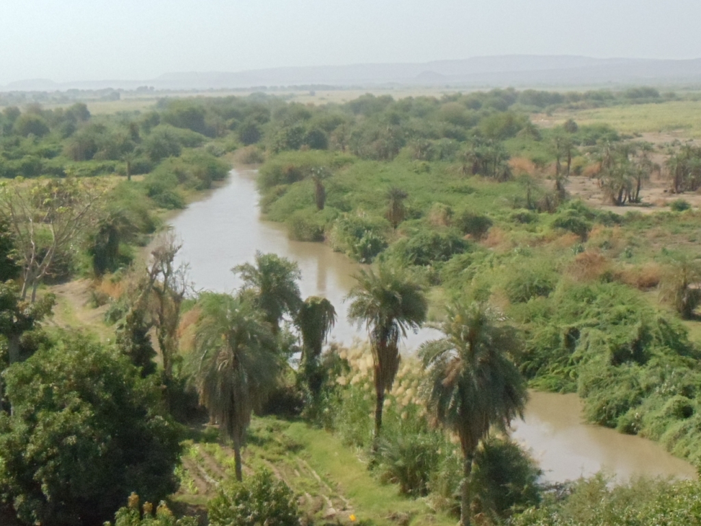
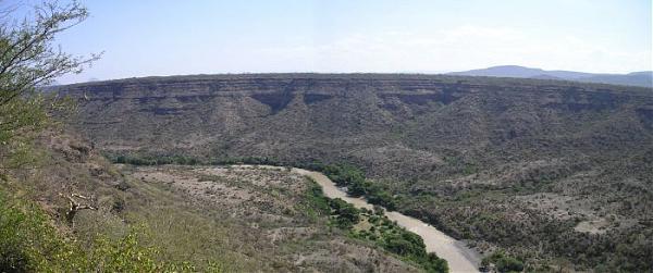
The Awash ( Amharic አዋሽ ወንዝ Awas wänz ) is a river in the northern part of Ethiopia. It rises in the Abyssinian mountains about three kilometers east of Addis Alem, flows along the Abyssinian trench, a part of the East African grave breach, and ends north in the Valley of Danakil.
The sugar cane plantations of the sugar industries in Wonji, Shewa and Metehara are the biggest beneficiaries of this river. Thanks to the well-developed irrigation infrastructure, irrigation of the plantations, in contrast to the other major part of the country, completely independent of seasonal rainwater.
In 1997, the Awash River flooded and caused movement of unprecedented scale destruction. The population at that time had only four hours to search in high places protection until the deadly flood tore down everything you put in its path.
Along the Awash numerous hominid fossils were found ( including the famous Lucy and the fossil DIK 1-1, called " DRP girl " or " Selam " ) and the oldest so far discovered stone tools. Therefore, the area is considered one of the birthplaces of mankind. Led by Tim White and Berhane Asfaw paleoanthropological excavations found at Middle Awash in 1990 by the Middle Awash Research Project held again; 1982-1990 excavation permits had been due to a moratorium, which should serve to protect the cultural heritage of Ethiopia, exposed. The sites since 1980 are already on the list of UNESCO World Heritage Sites.


/1840-%252520Awash%252520River%252520(river,%252520Ethiopia),%252520(Zephaniah%2525203%253B1-10).files/image002.jpg)


