Barisal District
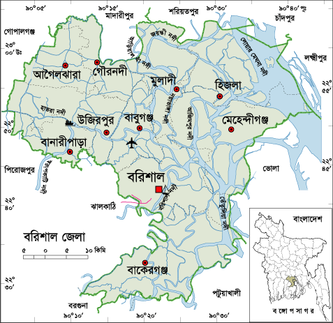
Barisal ( Bengali: বরিশাল জেলা, Barisal Jela, also Barisal ) is an administrative district in southern Bangladesh, which lies within the Barisal Division.
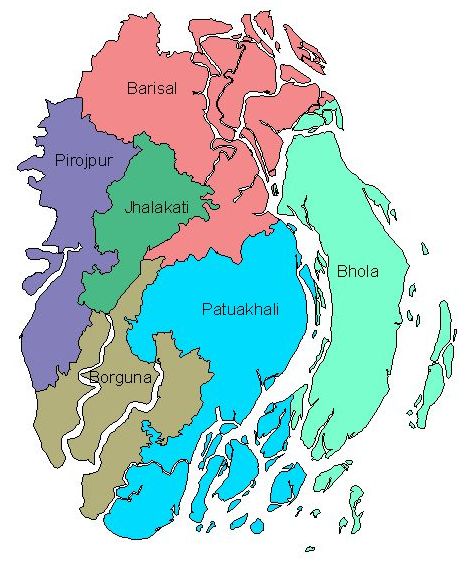
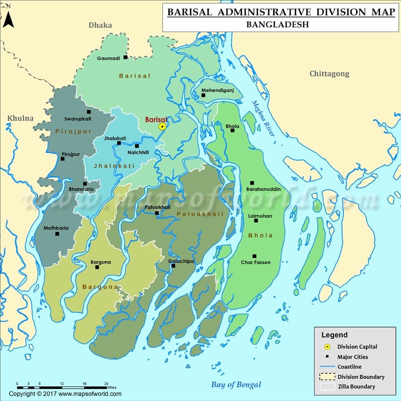
The 2790.51 km ² large district is bordered to the north by the neighboring districts Madaripur, Shariatpur, Chandpur and Lakshmipur, to the east by Bhola and Lakshmipur and on the south by Patuakhali, Barguna and Jhalokathi and west Jhalokathi, Pirojpur and Gopalganj.
The main rivers are the lower Meghna, the Arial Khan, Katcha, Kirtankhola and some other rivers.
The 1797 created as Bakerganj district was later renamed in Barisal. Since 1993 it is a division. The district is divided into the ten so-called Upazilas: Barisal Sadar, Agailjhara, Babuganj, Bakerganj, Banaripara, Gournadi, Hizla, Mehendiganj and Wazirpur. Within this administrative subdivision there are 86 Union Parishads (village councils) and 1175 villages.
The largest city in the district is just under 210,000 inhabitants, Barisal.


