Brecherspitz
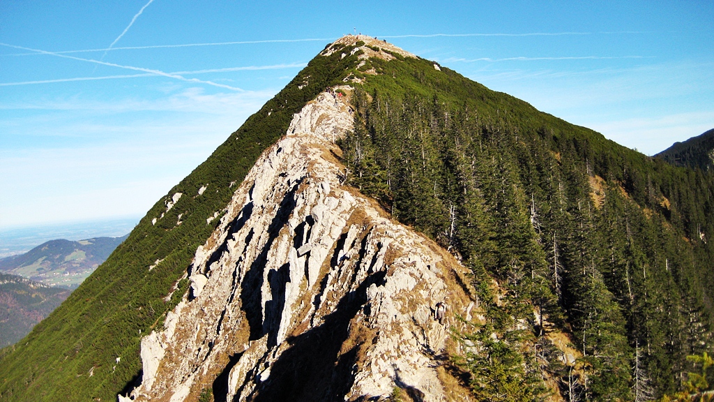
The summit of Brecherspitz from west
Location
The Brecherspitz is located about three kilometers in a straight line south-southwest of Neuhaus in Schliersee; its east ridge extends to the Spitzingsattel. It belongs to the middle group of mountain Mangfall mountains, the mountains Schliersee. With its striking pyramid shape he is considered the home mountain of Schliersee.
The entire Mangfallgebirge one of the Munich local mountains, and the Brecherspitz is the fastest from Munich to reach the rocky peak. Even public transportation is the mountain easily accessible (Bayerische Oberland Bahn to Fischhausen -Neuhaus; bus to Spitzingsee or the toll Enterrottach in Rottach -Egern lime kiln ).
Routes
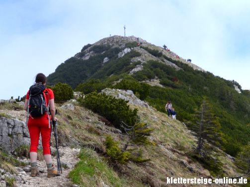
- The Brecherspitz is committed usually by Neuhaus from. The route runs first south on the way through the Dürnbachwald and the north ridge in 2 ½ hours walking to the summit ( altitude difference 880 m).
- From Spitzingsattel from a path in a westerly direction through the Blaik to the Upper Firstalm, then right over the west ridge via a walkway with safety ropes, lasts about two hours Difference in altitude 560 meters ( harder than the Tour of Neuhaus off).
- Directly from Spitzingsattel you go over the east ridge on an unmarked, very steep trail with a short climb, (I) and exposed to views; for the descent not recommended ( sign " No descent - danger to life ").
Winter sports
On the lower summit of Brecherspitz led to about 1997, a ski lift, which was finally demolished in 2010. This area with the joy kingdom Lift and Lower and Upper Firstalmlift was connected to the ski resort Spitzingsee. Today, the Brecherspitz is a popular ski touring destination.
Sources and maps
- Marianne and Emmeram Zebhauser: Alpine Club leaders Bavarian Alps east, Bergverlag Rother, Munich 1992, ISBN 3-7633-1120-3
- Alpine Club map 1:25,000, sheet 7/1, Tegernsee, Schliersee


