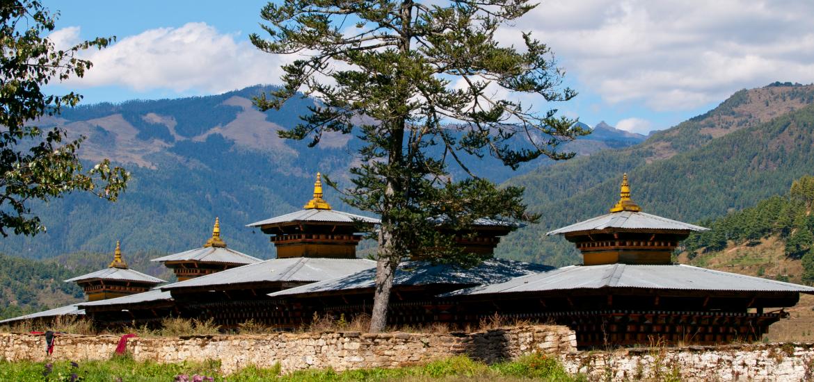
Bumthang District
Bumthang ( བུམ་ཐང་རྫོང་ཁག་ ) is situated in the north of the Kingdom of Bhutan district ( Dzongkhag ) with an area of 2490 km ² and 17,563 inhabitants. The capital is Jakar. Bumthang consists of four mountain valleys of Ura, Chumey, Tang and Choekhor (also known as Bumthangtal ). Occasionally, the entire district is referred to as Bumthangtal.
The spoken in the district of Tibeto- Burmese language is called Bumthangkha and is closely related to Dzongkha, the official language of Bhutan.
Bumthang means " Beautiful Field "; thang "means field or flat place, and Bum is either an abbreviation of bumpa ( a vessel for holy water, thus describing the natural environment ), or bum ( " girl ", alluding to the beautiful girls in the valley).
In Bumthang, among others, wheat, dairy products, honey, and apples are grown.
Cultural and historical sites
- Mebar Tsho ( Burning Lake ), where sacred sculptures were hidden by Guru Rinpoche in the 8th century and rediscovered later by Pema Lingpa in the 15th century.
- Kurje Monastery
- Jambay Lhakhang, one of Bhutan's oldest temples built in the 7th century by Songtsen Gampo, a king of Tibet.
- Tamshing Lhakhang, the most important Nyingmapa temple in the land
Structure
Bumthang is divided into four Gewogs:
- Chhume Gewog
- Choekor Gewog
- Tang Gewog
- Ura Gewog
Bumthang | Chukha | Dagana | Gaza | Haa | Lhuntse | Mongar | Paro | Pemagatshel | Punakha | Samdrup Jongkhar | Samtse | Sarpang | Thimphu | Trashigang | Trashiyangtse | Trongsa | Tsirang | Wangdue Phodrang | Zhemgang
- District in Bhutan


