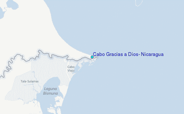
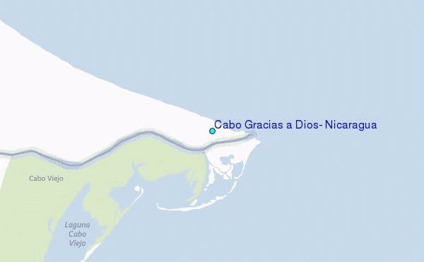
Cabo Gracias a Dios
Cabo Gracias a Dios is a headland on the east coast of Central America, on a coastline of the Caribbean Sea, which is also called Miskito Coast or La Mosquita. Here the Rio Coco flows into the sea, which forms the border between the autonomous region of Nicaragua Atlantico Norte and the Honduran departments in Honduras Gracias a Dios.
This point was used as the end point of the border between Honduras and Nicaragua by the Spanish King Alfonso XIII. determined in 1906 and confirmed by the International Court of Justice in 1960.
The Spanish name is translated Cape Thanks to God (or thank goodness ). He should go back to a quote by Christopher Columbus during his last trip in 1502, when the weather suddenly calmed as he drove around the Cape in heavy storm. It read: Gracias a Dios de esas honduras hemos Salido, which means, thank God that we have escaped from these depths '. This also Honduras has his name get ( Honduran = depth).
14.985555555556 - 83.135833333333Koordinaten: 14 ° 59 '8 " N, 83 ° 8' 9 " W
- Cape (North America)
- Geography (Central America)
- Geography (Honduras )
- Geography (Nicaragua )
- Región Autónoma del Atlántico Norte
- Department of Gracias a Dios


