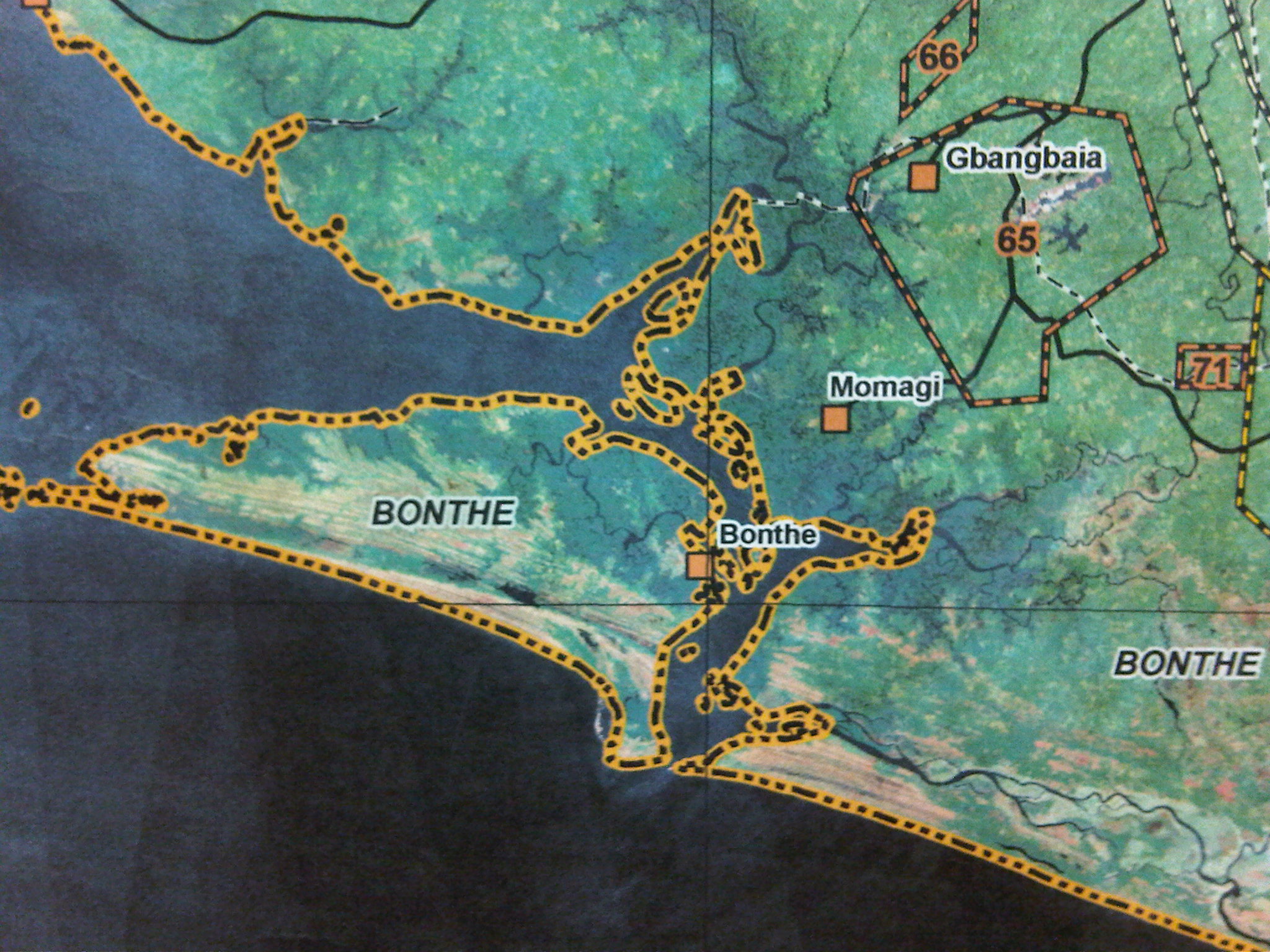
Bonthe District
Bonthe is a district of Sierra Leone with about 130,000 inhabitants. Its capital is Bonthe. The district is divided ( chiefdoms ) and the capital in 11 chiefdoms.
Bonthe is located in the province of Southern in the southwest of the country, on the Atlantic coast. The district covers an area of 3468 km ², including the Sherbro Island and other islands such as the Turtle Islands, Masa, Edmonstone and Rendell include. In the field of Bonthe are also numerous small lakes.
The people of Bonthe District belong to the ethnic groups of the Mende, Sherbro - Bullom, Temne and Loko and are mostly Muslims. The economy is in fishing, rice cultivation and palm oil plantations.
The district decreed in 2006 over 38 health facilities, including a state hospital, a mission hospital, two missionary and two NGO clinics and a hospital industry. 2005 0.7 % of the residents were HIV -positive. 2004/2005 there were 85 primary and four secondary schools on the mainland, 67 primary and three secondary schools on the islands. The literacy rate in 2004 was for the city of Bonthe in 56% (65 % of men and 49% of women ) and for the rest of the district was 24% ( men 34 %, women 16%). 62.7 % of children in the city and 40.8 % in the rest of the district attended school.
Swell
Eastern: Kailahun | Kenema | Kono Northern: Bombali | Kambia | Koinadugu | Port Loko | Tonkolili Southern: Bo | Bonthe | Moyamba | Pujehun Western Area (Freetown ): Western Area Rural | Western Area Urban
- District in Sierra Leone
- Southern ( Sierra Leone)


