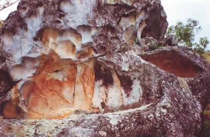
Aucapata
Aucapata is a village in the department of La Paz in the South American Andes State of Bolivia.
Location in near space
Aucapata is the central place of the district ( bolivian: Municipio) Aucapata in the province Muñecas. The small settlement Aucapata lies at an altitude of 2126 m in a tributary of the Río Llica flowing over the Río Mapiri the Río Beni.
Geography
Aucapata located east of Lake Titicaca in the Andes mountain range, the Cordillera Central. The climate of the region is a typical diurnal climate where the temperatures during the day have more differences than in the course of the year.
The mean annual temperature of the location is 16 ° C (see climate chart Aucapata ), the monthly values vary between about 14 ° C in June / July and just over 17 ° C from October to March. The annual rainfall in the long-term average is 800 mm, and during the winter months of June and July are arid with less than 10 mm month precipitation reaching the summer months from December to March values from 100 to 140 mm.
Traffic network
Aucapata is located 285 km from La Paz, the capital of the department of the same name.
From La Paz the paved highway Ruta 2 runs north 70 km to Huarina, from there the Ruta 16 through Achacachi and Puerto Carabuco about another 95 km on mostly unpaved roads to Escoma. From there, the Ruta 16 towards branches off to the northeast and crosses Mocomoco by Chuma and on to Aucapata.
Population
The population of the town has declined in the decade between the last two censuses:
Because of the historical development of the Quechua population population is predominant in Aucapata, in the municipality of Aucapata 87.8 percent of the population speak the Quechua language.


