Chaumont (Haute-Savoie)
Chaumont is a commune in the French department of Haute- Savoie department in the Rhône-Alpes region.
Geography
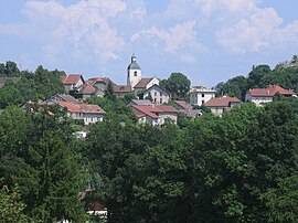
Chaumont is located at 606 m above sea level. M., above Frangy, about 20 km northwest of the town of Annecy (air line). The village is located on a ridge on the southern slopes of the Montagne de Vuache, over the narrow valley of Le Malpas and high above the valley of the Usses, in Genevois.
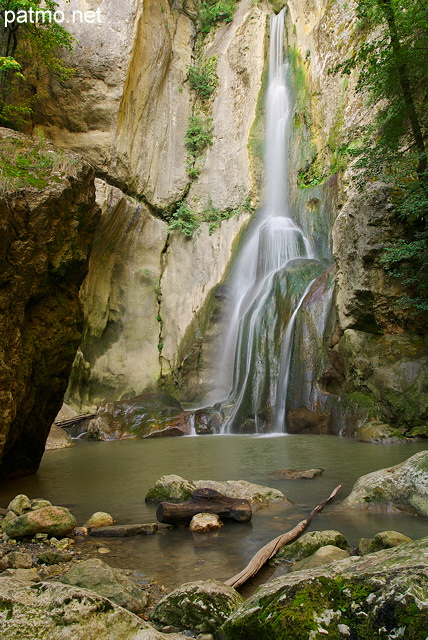
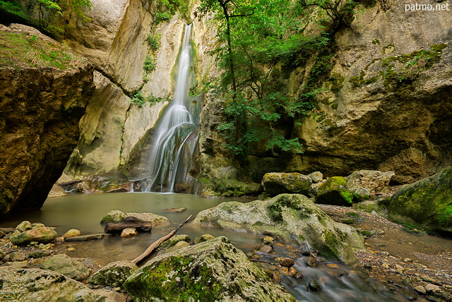
The area of 12.38 km ² municipal area includes a portion of the Genevois. Landscape defining characteristic of the area of Chaumont is the narrow, wooded and partially crowned by rocky ridge of the Montagne de Vuache (also called Montagne de Chaumont ), which is oriented towards the south-southeast - north-northwest. The ridge descends to the south rapidly and is separated by the canyon -like gorge of Le Malpas from the south in the Mont. The gorge is from Fornant, a right-hand side of the brook Usses, drained. East of the ridge and the canyon reaches the municipal area in the wide valley of the Fornant. The far -reaching to the northwest part of municipality comprises the steep western slope of the Vuache and the upstream high plateau. With 1101 m above sea level. M. is reached on the Montagne de Vuache the highest elevation of Chaumont.
At Chaumont next to the village itself includes various hamlet settlements and farmsteads, including:
- Le Malpas (470 m above sea level. M. ) above the gorge of the Fornant between Vuache and Mont
- Saint -Jean ( 483 m above sea level. M. ) on the southern slope of the Vuache below the village
- Chaumontet (640 m above sea level. M. ) on the southern slope of the Vuache
- Vovray (750 m above sea level. M. ) on the southern slope of the Vuache
Neighboring communities of Chaumont are Savigny in the north, and Minzier Contamine- Sarzin in the east, and Musièges Frangy in the south and Chessenaz and Clara Fond- Arcine in the West.
History
Chaumont was from the 12th century, the center of a Kastlanei of the Counts of Geneva. In the 14th century, and the places was certain liberties. The fortress walls of the castle was razed in 1630. Chaumont in 1860 the newly created Canton Frangy allocated; previously it belonged to the canton of Saint -Julien -en- Genevois.
Attractions
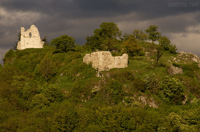
The medieval church of Chaumont has a choir from the 14th century, while the portal from the 15th century came from. Another church is located in the hamlet of Saint -Jean. From the former castle ruins have been preserved. The village is characterized by a group of town houses in the typical Savoyard style from the period of the 18th century. Also worth mentioning are the located in the area of mansions Château de Chaumont Thiollaz and Château des Roches.
Population
With 426 inhabitants (as of 1 January 2011) Chaumont is one of the small towns in the Haute-Savoie region. During the 19th and 20th centuries, the population steadily increased due to high levels of emigration from (1861 were still 683 residents counted in Chaumont ). Since the mid- 1970s, however, a significant increase in population was recorded again.
Economy and infrastructure
Chaumont is a predominantly coined by farming village today. Chaumont is located in the wine region of Savoie. White wines from the grape Altesse ( locally called roussette ) may be marketed under the protected designation of origin roussette de Savoie. For white wines, red wines and other grape varieties, the AOC Vin de Savoie applies.
There are also some plants of the local small business sector. Many working population commuters going about their work in the larger towns in the area as well as in space Annecy and Geneva - Annemasse.
The village is located off the major thoroughfares, but is easily accessible from the secondary road D992, which runs from Saint -Julien -en- Genevois to Frangy. Further road links exist with Clara Fond- Arcine, Savigny and Musièges. The nearest links to the A40 motorway is located at a distance of around 10 km.


.svg/2000px-Blason_ville_fr_Chaumont_(Haute-Savoie).svg.png)


