Doldenhorn
Kandersteg Kandersteg and doldenhorn (middle) and " external Fisistock " right from northwest.
Map: doldenhorn in the field of Kandersteg
Inner Fisistock and doldenhorn (right) of Südwestenbdep2
Geography
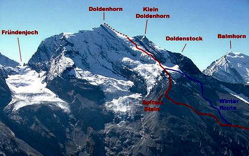
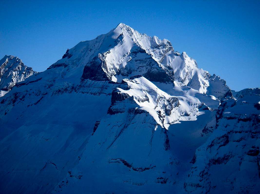
The showpiece of the umbel horn, the glaciated north face rises steeply above the Oeschinensee at Kandersteg. The south side above the Gasterental has rocky character. About the Fründenhorn and Oeschinenhorn the doldenhorn the east is connected to the Blüemlisalp. To the west, the umflossene of the Kander group because it is free, and includes in addition to the main summit cone horn on the way to the valley floor further minor peaks; the 400 meters west -lying small doldenhorn, 3'475 m, then further west of the Üssere Fiststock, 2'946 m, which powerfully dominates the doldenhorn from the valley, and the interior Fisistock, 2'787 m, which forms the southwest flank.
From the field of post-glacial horn umbel several landslides are gone down due to the stratification north. One of them jammed on the Oeschinensee. Of the Fisistöcken above Kandersteg thundered huge masses of rock down to the Kander Kander bottom where the ruins are today can still be seen around the picturesque Blue Lake. The demolition scars on the mountain are still clearly visible.
Alpinistisches
The doldenhorn was climbed for the first time on 30 June 1862 by Abraham Roth and Edmund of Fellberg as well as the leaders of Johann Bischoff, Kaspar Blatter, Christian Lauener and Gilgian rich.
- The normal ascent begins at the doldenhorn Hut ( 1,915 m) above Kandersteg. From there, climb up the Northwest side past the striking stone peaks ( here via the doldenhorn glaciers of the Fründen Hut ) until you enter the glacier at around 3,000 meters above sea level. The summit is reached by a glacier ramp that leads from the Einsattlung between small doldenhorn and doldenhorn up.
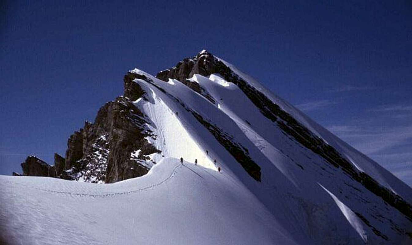
- The well-known among mountaineers Galletgrat, one of the most beautiful Eisgrate of the Bernese Oberland, leads from the Fründen Hut on the spur that pulls down from point 3,480 m of East Ridge, first of all rock up to the ridge height. From the spur of the East Ridge draws some strong south verwechtet as finely curved Firnschneide against the summit. The difficulties in the rock reach the level III UIAA scale. However, in many parts of the rock sections are almost always placed fixed ropes and chains in order not to have to commit the previous acts, rockfall risk Couloir. The route was first climbed on July 19, 1899 by J. Gallet, J. Kalbermatten and A. Müller.
- The eastern ridge may also be committed by Fründenjoch from its entire length. However, the difficulties to reach the firn are significantly higher (V UIAA ) than Galletgrat. First climbers were E. and O. Bürki on August 5, 1923.
- In the north wall is a classic ice wall with an increasing upward slope from an average of 54 °. The actual wall height is about 600 m. The doldenhorn North Face was erstdurchstiegen of M. Bachmann and S. Plietz on July 8, 1934.
Regierungsbunker K20
The westernmost of the pre-peak cone horn, the interior Fisistock, home to the government bunker of the Swiss government, the leadership system K20. He is accessible from Eggenschwand, from her Gasterntal and from the old Lötschberg tunnel. The government has abandoned the previous strict confidentiality of the location of the bunker.


_012.jpg)
