Fier County
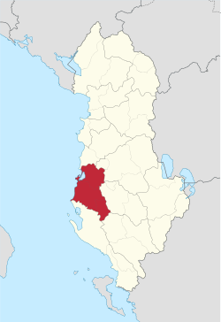
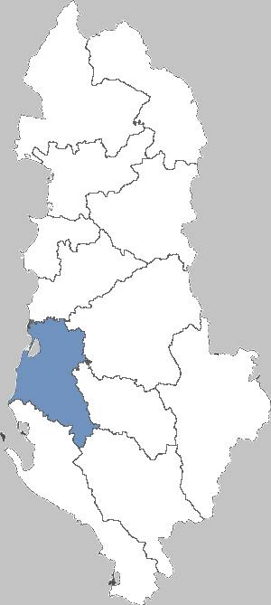
The Qark Fier (Albanian Qarku i Fierit ) is one of twelve Qarks in Albania. It is located in central Albania and has an area of 1887 km ². The capital is Fier.
Geography
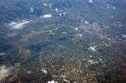
The Qark Fier consists of the districts of Fier, Lushnja and Mallakastra. The agricultural town of Fier forms the economic and administrative center. With the exception of the hill country of Mallakastra the Qark includes large areas of the Myzeqe - plane, which is here crossed by the River Seman. In the southeast the Gjanica is the most important body of water. The Adriatic limits the Qark in the West.
In the northwest of the area is the lagoon of Karavasta, from about a quarter is protected as a National Park Divjake - Karavasta.
In the north of the border to the Shkumbin Qark Durres. To the northeast lies the Qark Elbasan, east of Berat County. In the southeast, there is a short level section Qark Gjirokastra. Southwest is the Vjosa the border to Vlorë County.
Population
In 2009, the Statistical Office of Albania Instituti i Statistikës recorded 374 005 inhabitants for the Qark Fier. The Qark authorities, however, are based on 484 438 inhabitants. The 2011 census is a preliminary result of only 310 989 inhabitants. Thus nearly 20 % of residents have left in the last ten years the circle.
Politics and Administration
The Qark Council ( Alb. Këshilli Qarkut i ) is composed of 96 members, of whom the majority of the Socialist Party (PS) belongs. Provide you with Vangjel Ndreka the presidency ends.
The Qark Fier provides 16 deputies out of a total of 140 for the 2009 and 2013 beginning of the legislative period of the Albanian Parliament
Historic Sites
The Qark Fier is rich in ancient sites, of which Apollonia is the best known. Furthermore, the Illyrian city Byllis and the Orthodox Christian monastery Ardenica include (13th century) to do so.


