Autrey-lès-Cerre
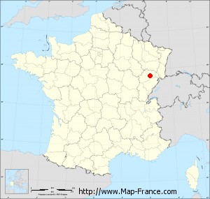
Autrey- lès- Cerre is a commune in Haute -Saône in the Franche -Comté.
Geography
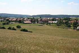
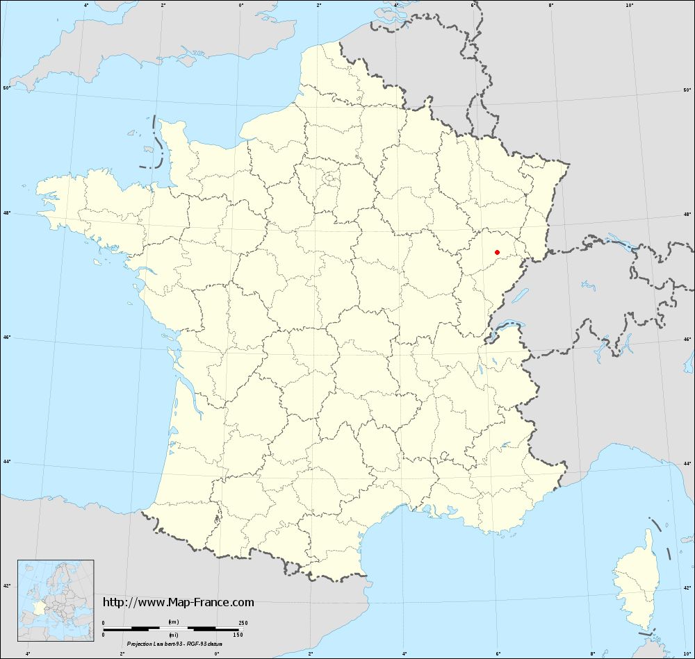
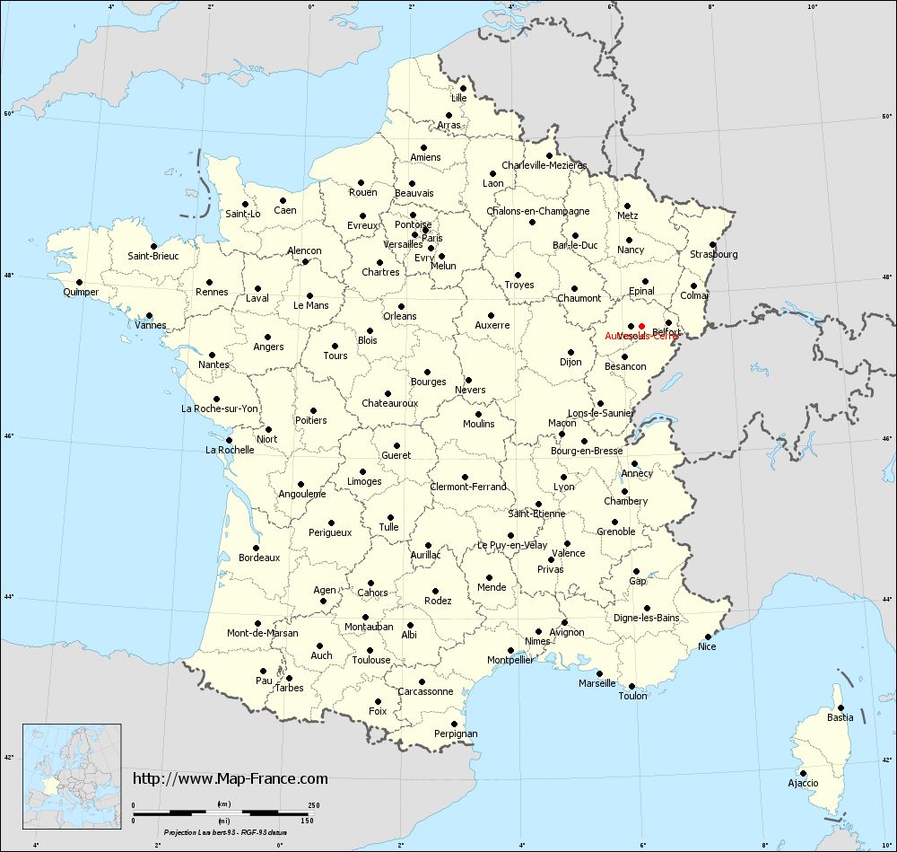
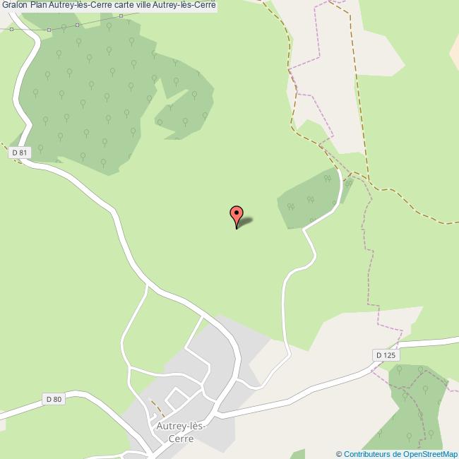
Autrey- lès- Cerre situated at an altitude of 362 m above sea level, 9 km north- west of Villers Exel and about 14 km east of the town of Vesoul (air line). The village is located in the central part of the department, at a height between the valleys of Ruisseau de l' Etang and Lauzin.
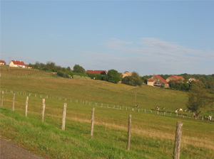
The area of 5.48 km ² municipal area comprises a section in the rolling countryside between the basin of Vesoul in the west and the level of Lure in the east. The central part of the area occupied by the amount of Autrey. It forms a broad saddle on the north from Mont Moiran (418 m ) (408 m) is flanked to the south by Mont d' Autrey ( with 426 m the highest elevation of Autrey- lès- Cerre ) and the forest heights of Chanoi. To the west the municipality area extends into the headwaters and the trough of the Ruisseau de l' Etang. In the northeast of the municipality floor extends into the lowlands of the Ruisseau de la corvée d' Agrey. These wells and the amount of Autrey is used for agriculture. The wells consist of alternating layers of sandy- marly and calcareous sediments that were deposited during the Lias ( Lower Jurassic ) in geological- tectonic terms. The highs are constructed of a durable layer of chalk of the middle Jurassic period.
Neighboring communities of Autrey- lès- Cerre are Liévans in the north, Mont Justin -et- Velotte in the east, and Borey Cerre -lès- Noroy in the south and Noroy -le- Bourg in the West.
History
Is first mentioned Autrey in the year 1211. During the Middle Ages the village belonged to the Free County of Burgundy and in the territory of the Bailliage d' amont. Together with the Franche -Comté reached the place with the Peace of Nijmegen in 1678 definitively to France. Today Autrey- lès- Cerre is a member of the comprehensive 12 villages municipal association Communauté de communes des Grands Bois.
Attractions
The village church of Autrey- lès- Cerre was rebuilt in 1847. Also from the 19th century originated the sheltered Lavoir, which once served as a laundry and watering cattle.
Population
With 228 inhabitants ( 1 January 2011) Autrey- lès- Cerre is one of the small towns in the Haute- Saône. After the population had decreased significantly in the first half of the 20th century (1881 280 people were still counted ), a population growth was recorded since the mid-1970s again. Since then, the population has doubled.
Economy and infrastructure
Autrey- lès- Cerre was until well into the 20th century a predominantly by agriculture (crops, orchards and livestock ) embossed village. Today, there are some establishments of local small businesses. In recent decades the village has been transformed into a residential community. Many workers are therefore commuters who do their work in the larger towns in the area and in the agglomeration Vesoul.
The village is situated away from the larger passage axes on a secondary road that leads from Noroy -le- Bourg to Villersexel. Further road links exist with Cerre -lès- Noroy and Liévans.
Autrey- lès- Cerre | Borey | Calmoutier | Cerre -lès- Noroy | Colombe- lès- Vesoul | Colombotte | Dampvalley -lès -Colombe | La Demie | Esprels | Liévans | Montjustin -et- Velotte | Neurey -lès -la- Demie | Noroy -le- Bourg | Vallerois -le- Bois | Vallerois - Lorioz | Villers- le -Sec
- Commune in the department of Haute- Saône
- Place in Franche -Comté

