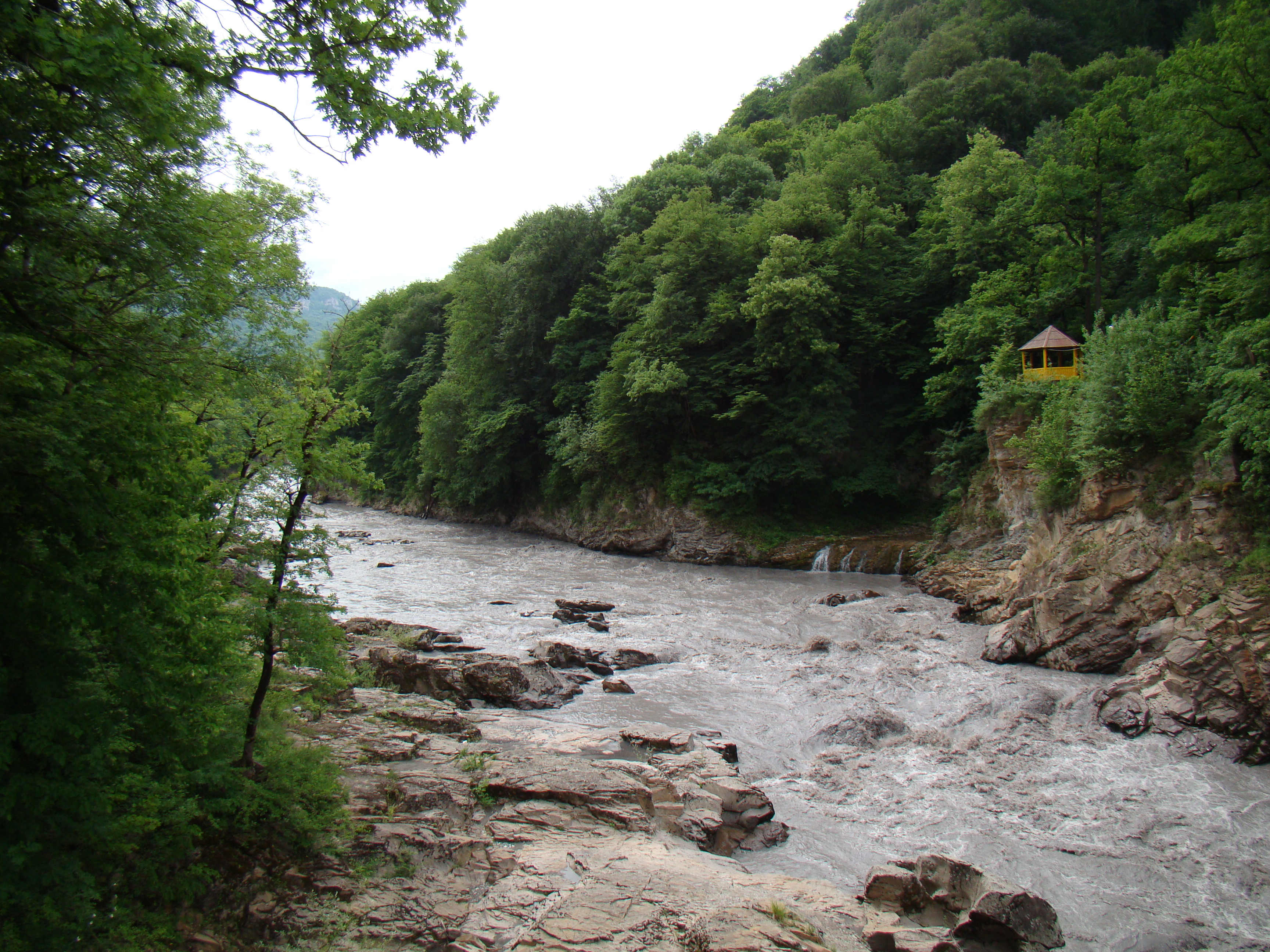
Belaya River (Kuban)
The Belaya in Maikop
The Fishes massif, headwaters of the Belaya
Dam of Maikop hydropower plant
The Belaya (Russian Белая, translates to "The White "; Adyghe Шъхьагуащэ, Schchaguaschtsche ) is a 273 km long left tributary of the Kuban in the North Caucasus (Russia). Its catchment area covers 5990 km ².
Course
The Belaya rises approximately 2100 m elevation on the northeast flank of the main ridge of the Greater Caucasus in the glaciated, the highest massif of the Republic of Adygea. The source is located about two miles north-northeast of the highest peak Fishes ( 2867 m ) and two kilometers south of the Oschten ( 2804 m), about 40 kilometers from the Black Sea coast and 50 kilometers north- northeast of the center of the city of Sochi.
First, the Belaya flows over 20 km in a southeasterly direction parallel to the main ridge of the Caucasus, where it marks the boundary of Adygea to Krasnodar. Then she turns into a narrow gorge sharply north. In its upper reaches the Belaya flows through the Caucasus Nature Reserve. From right takes the Belaya, in a mostly narrow valley flowing, her most important inflows of this section, Kischa and roof, before widens the valley floor at the urban-type settlement Kamennomostski to several kilometers.
In the capital of the Republic of Adygea Maikop the Belaya is dammed to Maikop reservoir. There, she leaves the mountains, turns in a northwesterly direction and assumes the character of a quiet flowing lowland river to. It increases from left their important tributaries Kurdschips and Pschecha on forms in their further course arms and meandering sections. The Belaya there flows partly in the Republic of Adygea, partly on the territory of Krasnodar region, partly on the border between the two federal subjects. You finally flows about 35 kilometers east of Krasnodar Krasnodar in the reservoir of the Kuban. This reservoir was created until 1975 and flooded by the 1941- built at the confluence of the Belaya in the Kuban Tschik Dam. Since then, the reservoir in this part is heavily silted up by the solids entry of the Belaya, so that the river on the last kilometers shifted again and the mouth further and further into cuba downward shifts in the reservoir. The estuary is now about four kilometers to the west than in 1979.
On the lower reaches of the Belaya is up to 80 meters wide.
Use and infrastructure
The Belaya is not navigable.
From the river, two early -1950s built hydropower plants are driven: the Maikop hydroelectric power plant ( Maikopskaja GES) on its reservoir with a capacity of 9.4 MW and the Beloretschensker hydroelectric power plant ( Beloretschenskaja GES) with 48 MW, which is located on a canal, the Beloretschensker the dam below the town of Belaya Belorechensk takes water and a few kilometers west -flowing tributary of the Kuban Pschisch leads. The power plant uses for energy the difference in level between the two rivers. The power plants are today from the local utility Juschnaja generirujuschtschaja kompanija - operated TGK -8, a subsidiary of the oil company Lukoil. On the middle and lower reaches of the Belaya the irrigation of agricultural land used.
The mountain section of the river is a popular destination for canoeing tourists and athletes because of its relative accessibility and variety of his wealth. In addition to easy to be traveled sections there are those of the highest Russian Category 6 ( corresponding to V according to international whitewater scale of difficulty of the ICF).
The Belaya is in Belorechensk of the railway Armavir - crossed Tuapse, one of the two leading to the southern sector of the Russian Black Sea coast routes. In Maikop a Armavir also crosses with Tuapse branch line connecting the highway M29 the river. From Belorechensk a railway line on Maikop follows the river upstream to Kamennomostski ( Chadschoch station ), where it crosses it twice. This railway line follows from Maikop the regional road R 254 on Kamennomostski addition to the small village and tourist resort Guseripl, the starting point for canoe trips on the river and a visit to the northern part of the Caucasian Nature Reserve. From Maikop downstream along the river at some distance to the right of the regional road R 253 to almost at the mouth ( from there via Ust- Labinsk after Korenovsk ), the shortest route from the north into the Adygei capital Maikop.

%252520Russia%2525201187708009.jpg)
%252520Russia%2525201187708006.jpg)
.jpg/1280px-Belaya_River_(Kuban).jpg)


_Maykop_4.jpg)