Belverne
Belverne is a commune in Haute -Saône in the Franche -Comté.
Geography
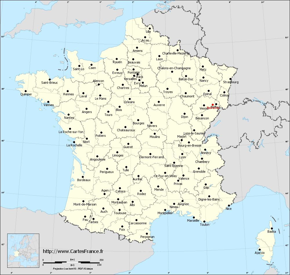
Belverne situated at an altitude of 350 m above sea level, 10 km north- west of Héricourt and about 16 km west of the town of Belfort ( a straight line ). The village is located in the southern foothills of the Vosges mountains, in the valley of Fau, in a clearing of the island densely wooded hill area south of the Chérimont.
The area of 6.15 km ² municipal area includes a portion of the southern Vosges foothills. The central part of the area is crossed from east to west from the valley of Fau, which provides for drainage to Rognon and forms a valley widening at Belverne. Flanked the valley to the north by steep wooded slopes of the Côte, which leads to the heights of Chérimont. Here the highest elevation of Belverne is achieved with 500 m. To the south, passes over a saddle to the headwaters of the Ruisseau des Terriers, another tributary of the Rognon. In the southeast, the municipality's area extends into the grove of the Bois de la Thure ( to 480 m). Mostly forested hills of Belverne forms the southwestern continuation of the Vosges and is partly of red sandstone, partly from the Permian of layers.
Neighboring communities of Belverne are Clairegoutte in the north, and Étobon Luze in the east, and Courmont Champey in the south and Lomont in the West.
History
Is first documented in the year Belverne 1279th In 1350, the town was pillaged. First was Belverne to rule Granges, but came in 1397 to the Counts of Montbéliard and was later placed under the rule Étobon. The Reformation was introduced in 1538. During the Thirty Years' War, the town was sacked and devastated in 1635 by troops of the Duke Charles of Lorraine - Guise. With the annexation of the county of Montbéliard came Belverne 1793 final in French hands. Since 2003 Belverne is a member of the nine- villages municipal association Communauté de communes de Rahin et Chérimont.
Attractions
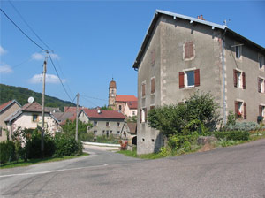
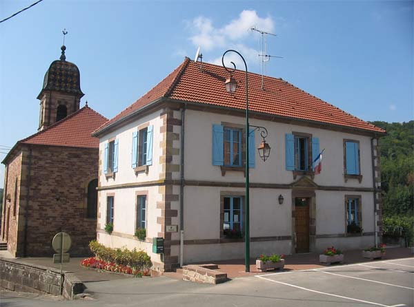
The Reformed Church of Belverne in 1832 built on the site of an earlier church. Note the Grand Fountain of 1868 in the village center, indoor Lavoir ( fountains and wash house) with arcades, which was restored in 1989. In the village are houses from the 17th to 19th centuries in the traditional style of the Franche-Comté are obtained.
Population
With 137 inhabitants (1 January 2011 ) is one of the smallest municipalities Belverne of the Haute- Saône. After the population had decreased significantly in the first half of the 20th century (1886 265 persons were still counted ), entered a temporary reversal of the trend a while in the 1960s. Since 1975, a decline in population was recorded again.
Economy and infrastructure
Belverne was until well into the 20th century a predominantly by agriculture (crops, orchards and livestock ) and forestry embossed village. In addition, there are today some of the local small business enterprises. Meanwhile, the village has also changed into a residential community. Many workers are therefore commuters who engage in the larger towns in the area and agglomeration Belfort -Montbéliard their work.
The village has good transport links. It lies on the main road D438 which leads from Belfort to Lure, and their four-lane intersection- free and expansion in progress. Further road links exist with Courmont and Étobon.
Belverne | Champey | Chavanne | Chenebier | Coisevaux | Courmont | Couthenans | Étobon | Héricourt | Lomont | Saulnot | Tavey | Trémoins | Verlans | Villers -sur- Saulnot | Vyans -le- Val
- Commune in the department of Haute- Saône
- Place in Franche -Comté


