Breurey-lès-Faverney
Breurey- lès- Faverney is a commune in Haute -Saône in the Franche -Comté.
Geography
Breurey- lès- Faverney situated at an altitude of 233 m above the sea, 2 km southeast of Faverney and about 15 km north of the town of Vesoul (air line). The village is located in the northern part of the department, on the southern edge of the wide valley of the Lanterne, on both sides of the Ruisseau la Creusotte at the northern foot of the heights of Breurey.
The area of 19.48 km ² municipal area includes a portion of the gently undulating countryside in the Lanterne. The central part of the area occupied by the basin of the Ruisseau la Creusotte, which ensures the drainage northwest to the Lanterne. In the north- west of the municipality floor in the broad Alluvialniederung the Lanterne enough. It is on average 220 m and has a width of around four kilometers on. In the alluvial plain north of the village, in a former sand and gravel mining area, are a series of lakes, which are identified partly as a nature reserve, to be used mainly for water sports.
To the east of the Talung of Ruisseau la Creusotte followed by a plateau, which is constructed from limestone of the Middle Triassic. It is subdivided by several troughs, where the little valley of the Ruisseau de Courcelles marks the eastern boundary. This section is primarily used for agricultural purposes.
A striking ground level up to 150 m altitude passes over to the south to the heights of Breurey that are passed by extensive forests ( Bois de Breurey, Bois de la Bannie ). With 415 m is achieved at the level at Chaumont, the highest elevation of Breurey- lès- Faverney. The plateau consists of an alternation of sandy- marly and calcareous sediments that were deposited during the Lias ( Lower Jurassic ). It is divided by the Taleinschnitte Ruisseau des Fourches and Bâtard (all in the southeast ).
Neighboring communities of Breurey- lès- Faverney are Mersuay in the north, Équevilley and Le Val -Saint- Eloi in the east, Flagy, Auxon and Provenchère in the south and Fleurey -lès- Faverney Faverney and in the West.
History
In the Middle Ages Breurey belonged to the Free County of Burgundy and in the territory of the Bailliage d' amont. The local government had held the Lords of Vesoul from the noble family Faucogney since the 10th century. In the 14th century the rule passed to the family of Vergy Champlitte. Together with the Franche -Comté reached the place with the Peace of Nijmegen in 1678 definitively to France. At the beginning of the 20th century Breurey- lès- Faverney was connected by a tram to the network of public transport. The operation on the line in 1934 was discontinued and replaced by a bus service.
Attractions
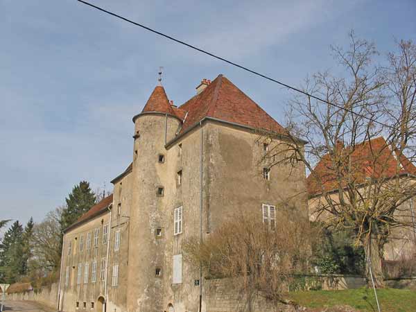
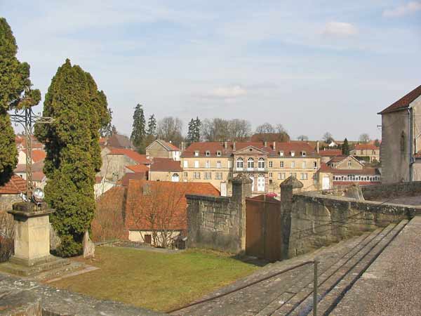
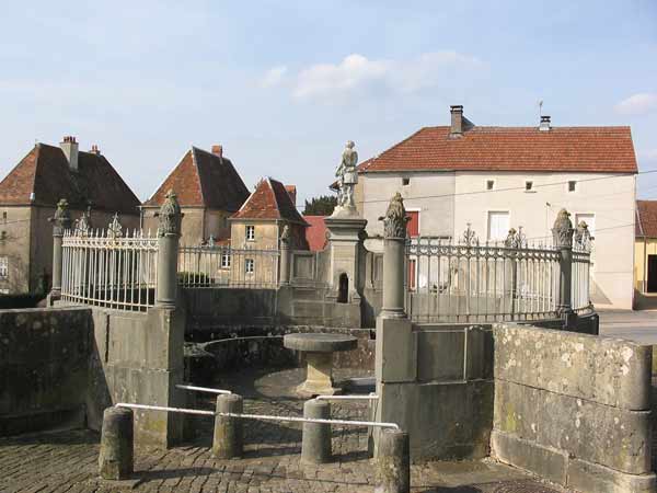
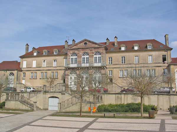
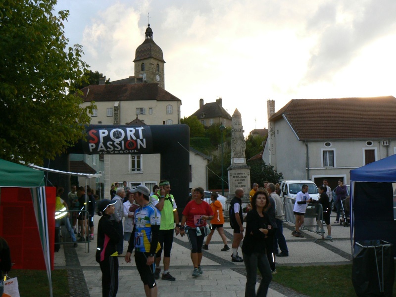
The church of Saint -Laurent was built from 1737 to 1757. For notable appointments include paintings, statues and reliquaries, a richly sculpted altar and paneling from the 18th century and several grave slabs. The former church was first converted into a parish house and later in a house. The village is characterized by various houses which are partly equipped with turrets and show the traditional style of the Haute -Saône. Also worth seeing is the Fontaine du Rondey of 1830, a Lavoir in an atrium style with double peristyle. A little above the village, the Château Collot is in historicizing Louis XIII- style in a large park. The Chapelle de l' Ermitage is located on the northwest slope of the heights of Breurey.
Population
With 579 inhabitants ( 1 January 2011) Breurey- lès- Faverney one of the smaller towns in the Haute- Saône. After the population had decreased significantly in the first half of the 20th century (1881 989 persons were still counted ), was from 1975 to 1990 again recorded a population growth. Since then, there have been only minor fluctuations.
Economy and infrastructure
Breurey- lès- Faverney was until well into the 20th century a predominantly by agriculture (crops, orchards and livestock ) and forestry embossed village. Today there are various operations of local small businesses, especially in the sectors of construction and precision engineering. In recent decades the village has been transformed into a residential community. Many workers are therefore commuters who engage in the larger towns in the vicinity of their work. The water areas north of the village to be used as a recreation area and water sports ( leisure center ).
The village is situated away from the larger passage axes on a secondary road, leading from Faverney to La Villedieu -en- Fontenette. Further road links exist with Mersuay and Provenchère.

