Brookfield Township (Clinton County, Iowa)
Clinton County
19-90354
The Brookfield Township is one of 18 townships in Clinton County in the eastern part of the U.S. state of Iowa.
Geography
The Brookfield Township is located in Eastern Iowa some 50 kilometers west of the Mississippi River, which forms the border with Illinois. The border with Wisconsin is located about 65 km north.
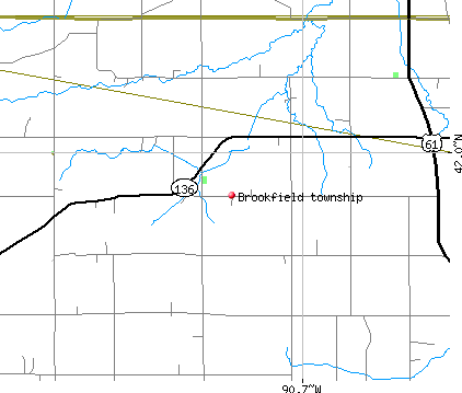
The Brookfield Township is located at 41 ° 59'29 " north latitude and 90 ° 43'21 " west longitude and extending over 94.19 km ².
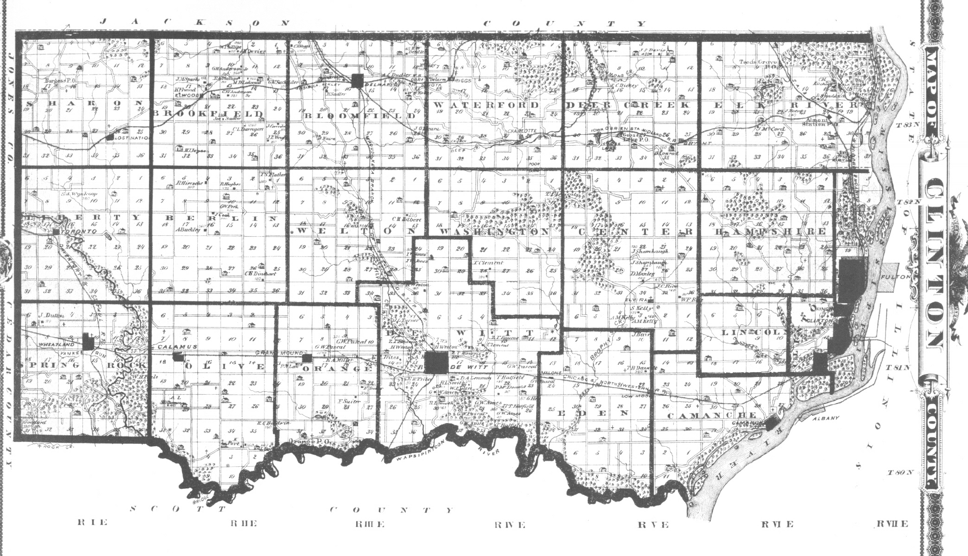
The Brookfield Township is located in the north of Clinton County and is bordered to the north by the Jackson County. Inside the Clinton County borders the Brookfield Township on the east by the Bloomfield Township, to the southeast by the Welton Township, on the south by the Grant Township, to the southwest by the Liberty Township and on the west by the Sharon Township.
Traffic
By Brookfield Township leads in west-east direction of the Iowa Highway 136 All other roads are County Roads and more subordinate and partly unpaved roadways.
The nearest airport is about 2 km north of the township located Maquoketa Municipal Airport; the nearest major airport is 70 km south to Quad City International Airport.
Population
In the census of 2010, the Township had 416 inhabitants. In addition to scattered settlements exist in the Brookfield Township Elwood only ( unincorporated ) settlement.


