Cercier
Cercier is a commune in the French department of Haute- Savoie department in the Rhône-Alpes region.
Geography
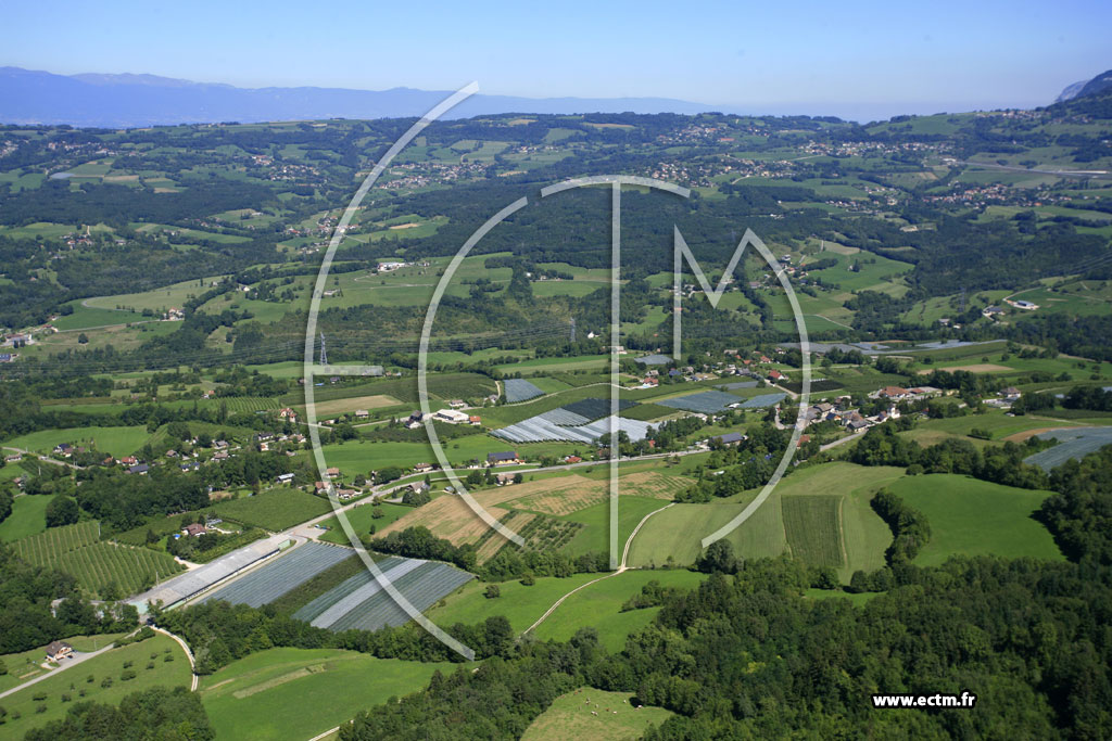
Cercier is located on 590 m above sea level. M., about 15 km north- northwest of the city of Annecy (air line). The farming village extends a scenic location on a gently sloping north slope high above the valley of the Usses, southwest of the ridge of the Salève, in Genevois.
The area of 11:46 km ² municipal area includes a portion of the Genevois. In the north, the boundary runs along the Usses, a left tributary of the Rhône, which flows here in an open valley with several turns from east to west. From the river, the municipality's area extends southward over the mostly wooded valley and the relatively gently sloping hillside of Cercier up on the adjoining broad ridges, on the 713 m above sea level. M. the highest elevation of Cercier is achieved. The eastern boundary is the little valley of the Ruisseau de Mounaz.
To Cercier next to the village itself includes various hamlet settlements and farmsteads, including:
- Les Pratz (480 m above sea level. M. ) on a terrace overlooking the valley of Usses
- Cologny ( 595 m above sea level. M. ) on the southern flank of the Usses
- Rassier ( 595 m above sea level. M. ) on the southern flank of the Usses
- Latrossaz (570 m above sea level. M. ) on the southern flank of the Usses
Neighboring communities of Cercier are Cernex and Copponex in the north, Cruseilles and Allonzier -la- Caille in the east, the south and Choisy Marlioz in the West.
Attractions
The village church de l' Assomption originally dates from the 13th century. From this time the chancel and nave are preserved, but were later restored several times and partially redesigned. The last major restoration dates from 1950.
Population
With 586 inhabitants (as of 1 January 2011) Cercier one of the small towns in the Haute-Savoie region. During the 19th and 20th centuries, the population steadily increased due to high levels of emigration from (1861 were still in Cercier counted 685 inhabitants). Since the early 1970s, however, a significant increase in population was recorded thanks to the beautiful residential area again.
Economy and infrastructure
Cercier is a predominantly coined by farming village today. There are also some plants of the local small business sector. Many workers are commuters who engage in the larger towns in the area, particularly in the area Annecy their work.
The village is located off the major thoroughfares on a secondary road that leads from Allonzier -la- Caille through the Vallée des Usses after Frangy. Further road links exist with Cruseilles, Cernex and Marlioz. The nearest links to the A41 motorway is located at a distance of about 9 km.
Allonzier -la- Caille | Andilly | Cercier | Cernex | Copponex | Cruseilles | Menthonnex -en- Bornes | Le Sappey | Saint -Blaise | Villy -le- Bouveret | Vovray -en- Bornes
- Commune in the department of Haute- Savoie
- Place in Rhône -Alpes


