Angelburg (mountain)
Angelburg with the TV tower Angelburg
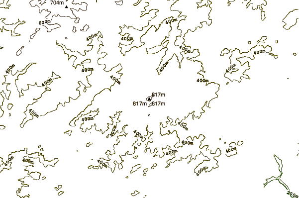
The Angel castle in central Hesse Lahn- Dill-Kreis is 609.4 m above sea level with. NN is the highest mountain in the Gladenbacher mountain country and part of the Bottenhorner plateaus.
Geography
Location
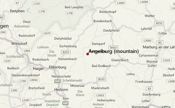
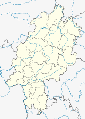
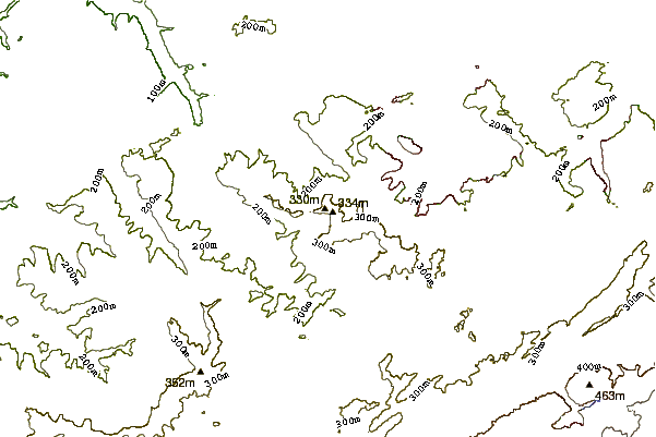
The Angel castle rises in the northeast of the Lahn- Dill district not far from the interface to the Marburg- Biedenkopf 1.6 km east of Hirzenhain station ( district of Eschenburg ) and about 3.5 kilometers west of Bottenhorn ( Bad Endbach (as the crow flies) ). Your summit is located in the eastern Eschenburger municipality. To the north of the mountain is the municipality of Angelburg and east and south of that of Siegbach.
Nature Spatial allocation
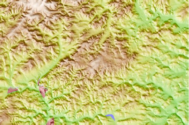
Drain at the Angel castle and its foothills swelling rivers either, as the goose creek, on the perf and so north to the Lahn or Siegbach, then Aar and finally dill south to the River Lahn. Therefore, the Angelburg not clearly belongs to the Escaut forest, which is defined in the main thing about the catchment areas of dill tributaries Scheldt and Nanzenbach. Nevertheless, it is guided by many sources as its highest point. Correctly, you have to assign the mountain, however, the relief poorer, but in absolute terms higher Bottenhorner plateaus whose western center it forms.
TV Tower Angelburg
On the heavily wooded summit of Angel castle, lead to the numerous hiking trails, is the 171 m high TV tower Angelburg. He belongs to the so-called basic network channels of Deutsche Telekom.
Wilhelm stones
The Angel castle was formerly a much higher single survey ( Angelburg massif ), which was demolished in the course of Earth's history up to its present height. This is demonstrated by the Wilhelm stones that resisted as Eisenkiesel - clingstones the removal.
History
Near the Angelburg a prehistoric settlement has been demonstrated. There were also found the Hirzenhainer Celts stone, which now stands in the museum in Darmstadt and has recently been shown along with the famous Celtic stone Glauberg in an exhibition. Not far away are the Wilhelm stones, originally called "Book stones ". This group of Eisenkiesel - Härtlingen, up to 15 m capped by individual specimens are high, a well-known natural monument. It is believed that they were an important pre-Christian sanctuary. Today there is a forest service still finds place every year on Ascension Day, attend the inhabitants of the surrounding villages.
Was at the Angelburg from early to high Middle Ages an important crossroads of long-distance trade routes that ran on the longer watersheds, for example, running from north- east to south -west Herborner Street, also called "high road ", or. the east-west route of the Leipzig- Cologne - exhibition - street who moved up to Brabant (Belgium) and was therefore also called Brabant street. Her name was also " L'Escaut forest road " and in ancient documents " strata publica" (public road).
At the Angelburg also led the now almost unknown, of pouring out on Dünsberg past, such as the road L 3047 following on the customs beech, Günterod and west to Hartenrod and Schlierbach running Westfalenweg in this system. His route was largely remote settlement on the Lahn/Dill- or Aar Salzböde watershed. Through its northern extension you could get to Paderborn to Bremen. Of these old ways go branched off regional roads whose routes you can still pursue in field and forest paths on the shorter watersheds today.
The extending on the watershed of the Schelderwaldes " High Road" to the beginning of the 70s of the 19th century was in use. After the new road was built and completed in the years 1871-1875 by Niederscheld about Lixfeld by Breidenbach, she lost her centuries- long importance. Today it is used as a forest road.

