Babuyan Claro Volcano
Babuyan Iceland on the map ( northern island )
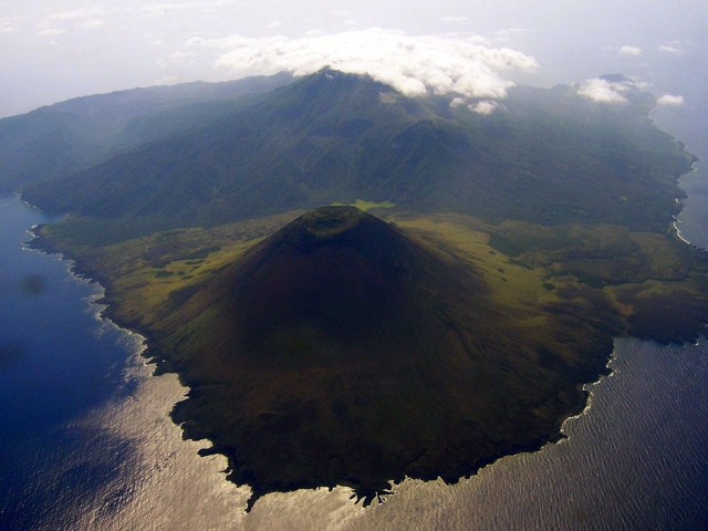
The volcano Babuyan Claro forms its own island in the Luzon Strait north of the Philippine main island of Luzon is part of the Philippine Archipelago Babuyan Islands.
From this group of islands is separated by the Babuyankanal and. Batanes group of islands from the islands to the north by the Balintangkanal Politically, the island belongs to the province of Cagayan in Cagayan Valley region. The volcano is one of 22 active volcanoes in the Philippines.
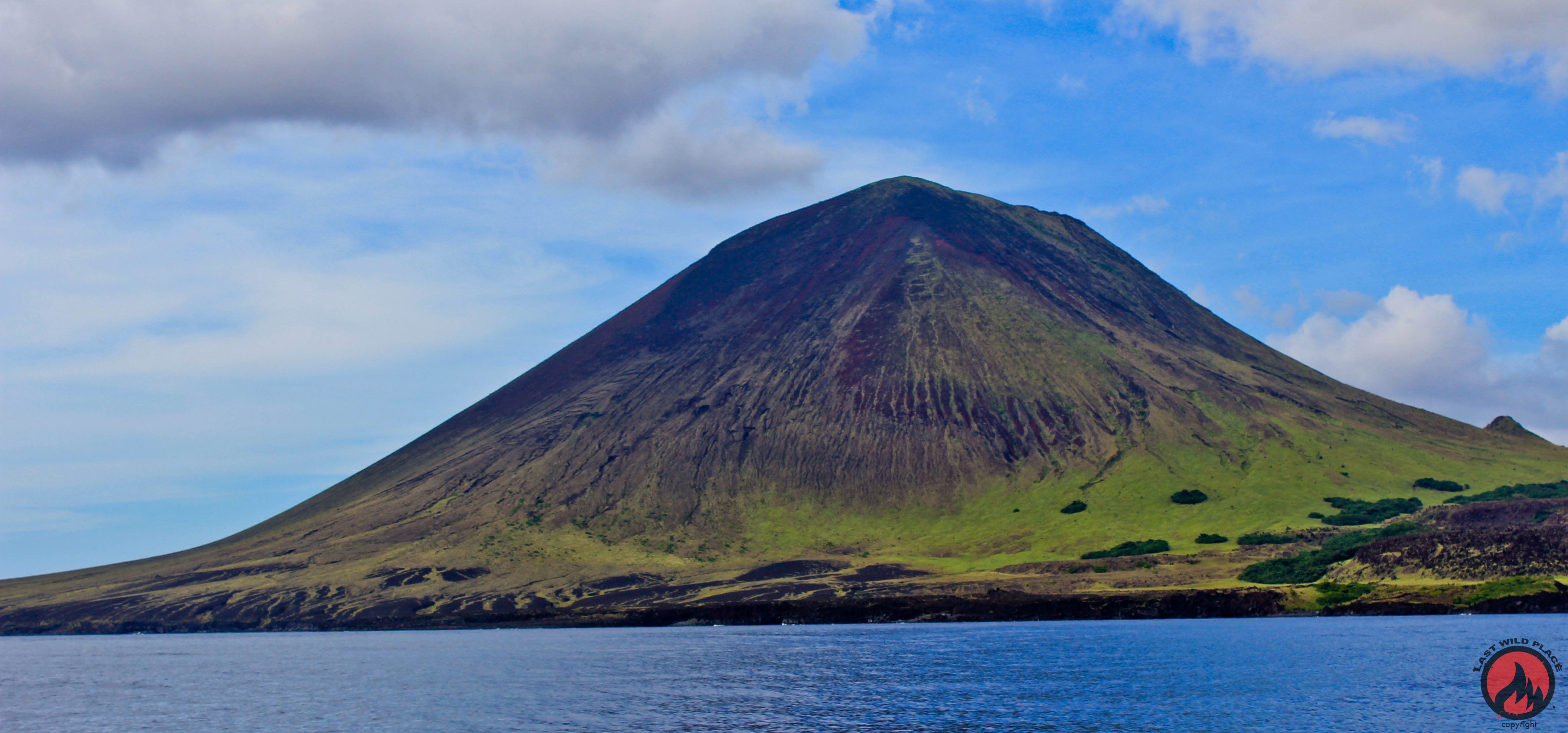
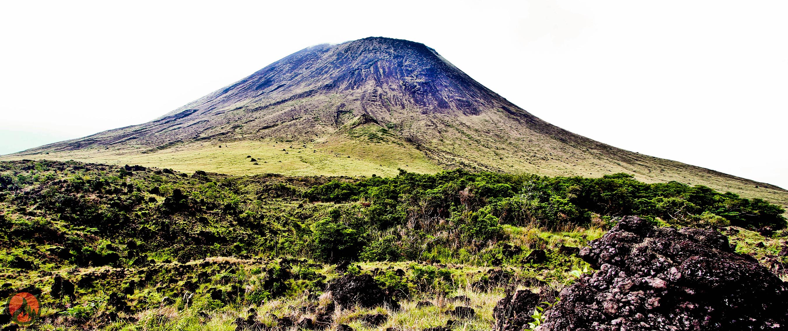
The Babuyan Claro is classified as a stratovolcano and is composed of four morphologically young volcanic buildings. Its highest point is 843 m, Mount Pangasun, a stratovolcano with two well-preserved craters of 300 m and 400 m in diameter. Next summit are Cayonan in the south, Naydi and Dionisio in the southeast.
On the lower slopes to the south lies the hot spring Askedna Hot Spring. The water temperature of this source is between 44.6 ° C and 50.2 ° C. The water is slightly acidic and the silicon content is relatively high because the spring water flows through lava flows. The source water will be classified as " near- neutral sodium chloride brine ."
At the western end of the island is the 679 m high cinder cone Smith Volcano, which until 1924 had its last eruption.
Outbreaks
Historical records tell of several eruptions of the volcano, including in the years 1652, 1831 ( emissions of about 550 million cubic meters of tephra ), 1860, 1907, 1917 17th to May 19th, 1918 May, 1919 as well in 1924. Outbreaks were either strombolian or phreatomagmatischer nature.
In July 1993, it was reported on earthquakes and an alleged desiccation of the vegetation at the top of the slopes and in the summit area. According to volcanologists, the earthquake tectonic nature, however, were a significant change in volcanic activity could not be detected.
In February 2004, there were reports of gray from the summit ascending vapor clouds.


