Barossa Council
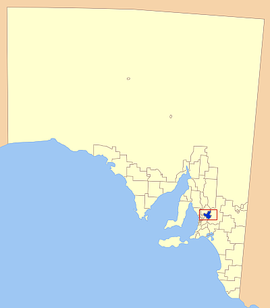
- 34.5139.05Koordinaten: 34 ° 30 ' S, 139 ° 3' O The District Council of Barossa is a Local Government Area ( LGA) in the Australian state of South Australia. The area is 912 km ² and has about 21,000 inhabitants.
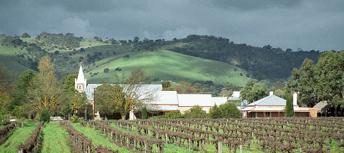
Barossa is located in the Outer Adelaide and is bordered to the southwest on the metropolis of Adelaide. The area includes 47 districts and towns (alphabetically ): Altona, Angaston, Argent Town, Bald Hill, Barossa, Barossa Goldfields, Barossa Reservoir, Barossa Valley, Bethany, Bilyara, Cockatoo Valley, Collin Grove, Concordia, Craneford, Cromer, Dorrien, Eden Valley Flaxman Valley, Kalbeeba, Krondorf, Langmeil, Light pass, Lone Pine Lyndoch, Moculta, Mount Crawford, Mount Kitchener, Mount McKenzie, Mount Pleasant, Nuriootpa, Parrot Hill, Penrice, Pewsey Vale, Rocky Gully, Rosedale, Rowland Flat, Sandy Creek, South Para reservoir, Springton, Stockwell, Tanunda, Tarawatta, Taunton, Vine Vale, Warren reservoir, Williamstown, and Wilton.
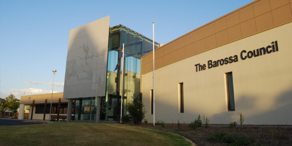
The administrative headquarters of the council is located in the town of Nuriootpa in the north of the LGA, which has about 4400 inhabitants.
Management
The Council of Barossa has 14 members who are 13 Councillor and the Chairman and Mayor ( Mayor ) of the Council elected by the residents of the LGA. Barossa is not divided into districts.


