Bato (Camarines Sur)
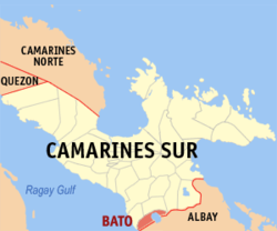
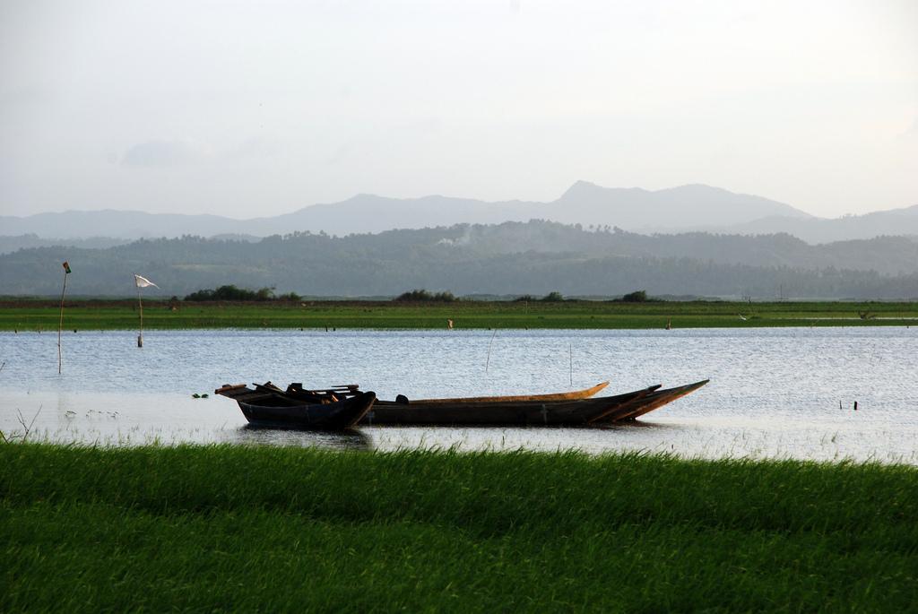
Bato is a Philippine municipality in the province of Camarines Sur. It has 48 306 inhabitants ( census May 1, 2010 ). The municipality is located on the major north -south connection, the Maharlika Highway. Bato Bato is located on the shores of Lake which is part of the watershed of the Bicol River.
Barangays
Bato is politically subdivided into 33 barangays.
- Agos
- Bacolod
- Buluang
- Caricot
- Cawacagan
- Cotmon
- Cristo Rey
- Del Rosario
- Divina Pastora ( Pob. )
- Goyudan
- Lobong
- Lubigan
- Mainit
- Manga ( Mangga )
- Masoli
- Neighborhood
- Niño Jesus
- Pagatpatan
- Palo
- Payak
- Sagrada ( Sagrada Familia )
- Salvacion
- San Isidro ( Pob. )
- San Juan
- San Miguel
- San Rafael ( Pob. )
- San Roque
- San Vicente
- Santa Cruz ( Pob. )
- Santiago ( Pob. )
- Sooc
- Tagpolo
- Tres Reyes ( Pob. )
Cities: Iriga City | Naga City
Communities: Baao | Balatan | Bato | Bombon | Buhi | Bula | Cabusao | Calabanga | Camaligan | Canaman | Caramoan | Del Gallego | Gainza | Garchitorena | Goa | Lagonoy | Libmanan | Lupi | Magarao | Milaor | Minalabac | Nabua | Ocampo | Pamplona | Pasacao | Pili | Presentacion | Ragay | Sagnay | San Fernando | San Jose | Sipocot | Siruma | Tigaon | Tinambac
- Location in the Philippines
- Camarines Sur


