Calamian Islands
The Calamian Islands consist of 128 islands and belong to the province of Palawan in the western Philippines.
Geography
In the northeast the archipelago adjacent to the Mindoro Strait to the Nanga Islands and the Apo Reef, behind it lies the great Philippine island of Mindoro.
The largest island of the group is Busuanga in the north with the upstream in the northwest of the island Dimipac, to the south is the second largest island of Culion, further to the south is Dicabaito. In the southwest lie the islands Bulalacao and Coron.
Geology
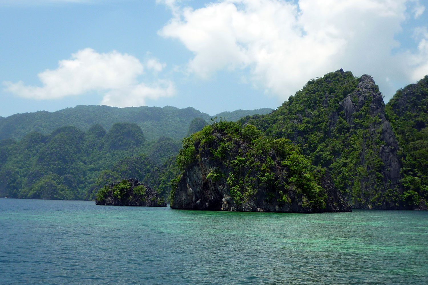
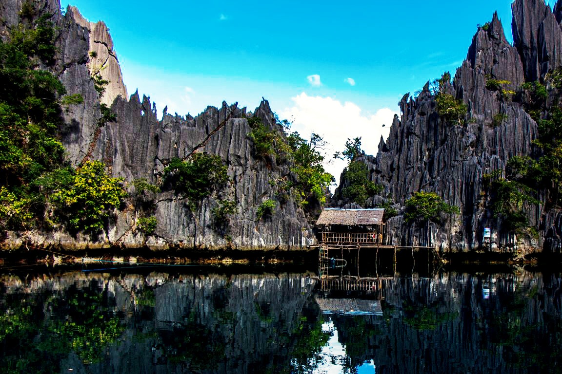
The islands in the archipelago form characteristic, typical vertical-fluted by the erosion of cliffs, crashes, towers, sharp needles, roofs and caves. The karst limestone forming bizarre eroded steep mountain slopes, originated 260 million years ago and was folded 60 million years ago. Especially eroded are: Coron Sangat Black and Iceland.
Flora and Fauna
On the island of Busuanga is the 34,000 -acre game reserve " Calauit Game Preserve and Wildlife Sanctuary ". It is a private nature reserve and an open zoo with 70 giraffes and many other African animals such as zebras and impalas. You can go to " Safari " as in Africa. Here you can find the largest population of Calamian deer. The island of Coron is a nature reserve, the reserve Coron Iceland Protected Area covers the entire island.
Politics & Tourism
The islands form a settlement area of the tribe of Tagbanuwa. The Coron Bay is a world famous diving area between the islands of Coron, Busuanga and Culion.


