Arrondissement of Aurillac
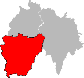
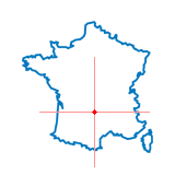
The district Aurillac is an administrative district in the department of Cantal in the Auvergne region of France.
History
On 4 March 1790, established with the founding of the Cantal also a " district Aurillac ," which was already identical with the current district. From the district was the district Aurillac with the founding of the arrondissement on February 17, 1800.
See also: History Cantal.
Geography
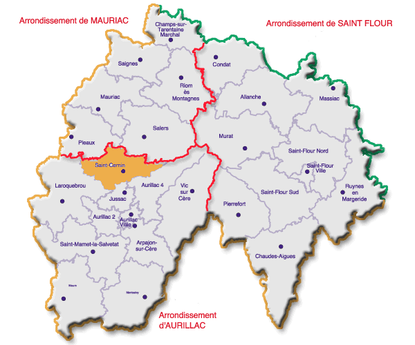
The district is bordered to the north by the district Mauriac, in the north- east by the district of Saint-Flour, in the southeast and south by the arrondissements Rodez and Villefranche -de- Rouergue in the Aveyron (Midi- Pyrénées), on the west by the district of Figeac, Department Lot also Midi-Pyrénées region and to the northwest by the arrondissements Tulle in Correze (Limousin ).
Management
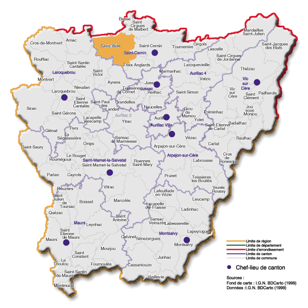
The district is subdivided into 12 cantons:
- Arpajon- sur -Cère
- Aurillac -1
- Aurillac -2
- Aurillac -3
- Aurillac -4
- Jussac
- Laroquebrou
- Maur
- Montsalvy
- Saint -Cernin
- Saint- Mamet- la -Salvetat
- Vic- sur -Cère
See also: List of cantons in the Cantal
Communities
The largest municipalities are the arrondissement ( > 5,000 inhabitants in 1999 ):
- Aurillac ( 30,551 )
- Arpajon- sur -Cère ( 5545 )
Ambert | Aurillac | Brioude | Clermont- Ferrand | Issoire | Mauriac | Montlucon | Moulins | Le Puy -en -Velay | Riom | Saint -Flour | Thiers | Vichy | Yssingeaux
- Arrondissement in the Auvergne
- Cantal


