Charmoille (Doubs)
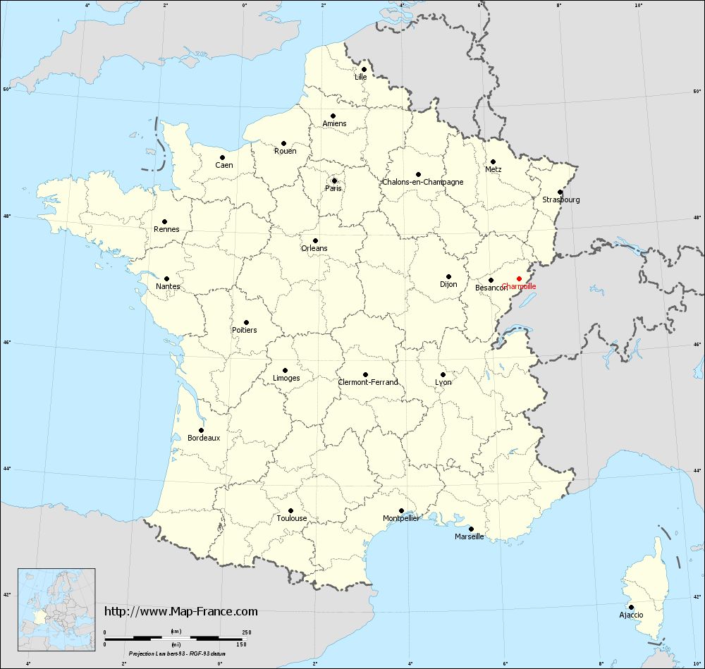
Charmoille is a commune in the French department Doubs in the Franche -Comté.
Geography
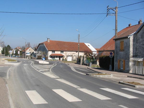
Charmoille is located at 680 m, 10 km west of Maîche and about 31 km south-southwest of the town of Montbéliard (air line). The village is located in the Jura, on a vast plateau on the northwest side of the valley of the Dessoubre.
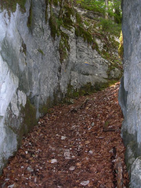
The area of 10:14 km ² municipal area includes a portion of the French Jura. The main part of the territory occupied by the plateau of Charmoille, which is on average 700 m. It rises to the south slightly and is mainly consisted of meadow and pasture land, but also shows a larger forest area. The plateau has no above-ground rivers, because the rainwater seeps into the karst underground. To the east and south of the plateau decreases with a steep slope to about 250 m deeper Dessoubre valley. The slopes are dominated in different places of Kalkfelswänden. The parish boundary runs partly on the upper edge of the slope, partly along the slope and extends all the way to the south almost to the valley of the Dessoubre down. To the west, the municipality's area extends to the broad ridge of Chamesey, on the 863 meters, the highest elevation of Charmoille is achieved.
Neighboring communities of Charmoille are Belleherbe in the North, Vaucluse in the east, the south and Rosureux Bretonvillers, Longevelle -lès- Russey and Chamesey in the West.
Attractions
The church of Saint - Ursin was built in the 18th century. In the village are farmhouses in the traditional style of the Franche -Comté are from the 17th to 19th centuries. From the 19th century, the chapel of Saint- Claude comes at the height west of the village.
Population
With 311 inhabitants (as of 1 January 2011) Charmoille is one of the small communities of the department of Doubs. Once the population has consistently had in the first half of the 20th century in the area of 340-420 people, a continuous decline in population was recorded since the early 1960s.
Economy and infrastructure
Charmoille was until well into the 20th century a predominantly by agriculture ( livestock and dairy farming, some arable and fruit ) embossed village. In addition, there are now several companies of local small enterprises, mainly in the fields of watchmaking industry, construction and woodworking. Meanwhile, the village has also changed into a residential community. Many workers are therefore commuters who engage in the larger towns in the vicinity of their work.
The village is located off the major thoroughfares on a secondary road that leads from Belleherbe after Bretonvillers. Another road connection with Vaucluse.
Battenans - Varin | Belfays | Belleherbe | Les Bréseux | Cernay- l'Église | Charmauvillers | Charmoille | Charquemont | Cour -Saint -Maurice | Damprichard | Les Écorces | Ferrieres -le- Lac | Fessevillers | Fournet -Blanche Roche | Frambouhans | Goumois | La Grange | Maîche | Mancenans- Lizerne | Mont -de- Vougney | Orgeans -Blanche Fontaine | Provenchère | Thiébouhans | Trévillers | Urtière | Vaucluse | Vauclusotte
- Municipality in the department of Doubs
- Place in Franche -Comté

