Mueang Ratchaburi District
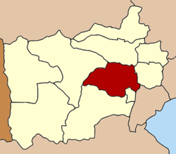
Amphoe Mueang Ratchaburi ( Thai: อำเภอ เมือง ราชบุรี, pronounced amp ʰ ɤ ː mɯaŋ Ratburi ) is a district ( Amphoe ) in the province ( Changwat ) Ratchaburi in Central Thailand. The capital of the district Mueang Ratchaburi Ratchaburi is also called.
Geography
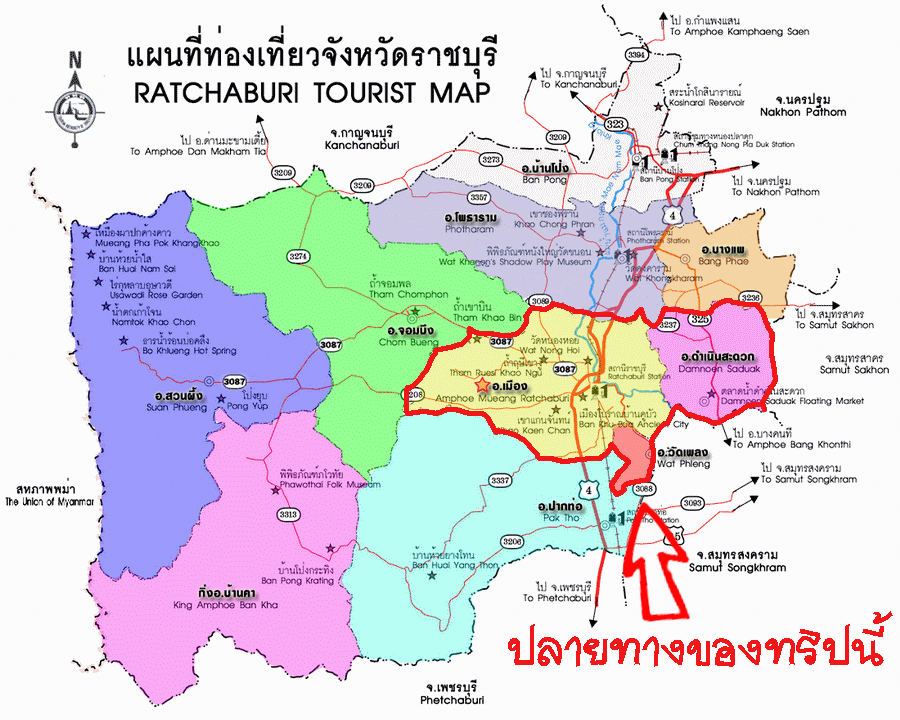
Ratchaburi is located about 80 kilometers west of Bangkok on the lower reaches of the Mae Klong.
The neighboring districts are (from north clockwise): Amphoe Photharam and the Damnoen Saduak in Ratchaburi Province, Amphoe Bang Khonthi Samut Songkhram Province and Amphoe Wat Phleng, Pak Tho and Chom Bueng turn in Ratchaburi.
The main water resource of the district is the River Mae Klong. In the province of the 8000 m² large Khao Bin Cave is located.
History
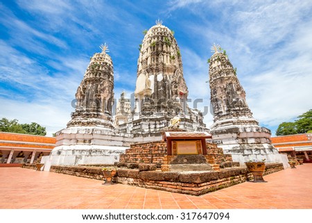
Ratchaburi is one of the oldest cities in Thailand. Traces of settlement in the Dvaravati period have been found in Khu Bua. Once the city was right on the coast of the Gulf of Thailand, due to the sedimentation of the Mae Klong pushed this over the course of time by 30 kilometers to the south.
Attractions
See: Ratchaburi
Management
The district Ratchaburi is divided into 22 subdistricts (tambon ), which in turn in 187 village communities ( Muban ) are divided.
The city ( Mueang thesaban ) Ratchaburi ( Thai: เทศบาล เมือง ราชบุรี ) consists of the whole tambon Na Mueang.
There are four other small towns ( thesaban tambon) in the district:
- Khao Ngu ( Thai: เทศบาล ตำบล เขา งู ) consists of parts of tambon Chedi Hak and co Phlapphla,
- Lak Mueang ( Thai: เทศบาล ตำบล หลักเมือง ) consists of two complete tambon Khok Mo and Phong Sawai,
- Huai Chinsi ( Thai: เทศบาล ตำบล ห้วย ชิน สีห์ ) consists of the whole Tambon Ang Thong,
- Lum Din ( Thai: เทศบาล ตำบล หลุม ดิน ) consists of the whole Tambon Lum Din.
There are also 17 " Tambon Administrative Organizations" (TAO, องค์การ บริหาร ส่วน ตำบล - administrative organizations) in the district.


